
The Geoinformatics Center (GIC) was invited to participate in the sub-forum on disaster prevention, reduction, and relief, held in Beijing on 11-12 October 2023, and nearly 200 participants attended the forum. The Sub-Forum is one of the activities of the Belt and Road Ministerial Forum for International Cooperation in Disaster Risk Reduction and Emergency Management that has been launched by the Government of the People’s Republic of China.
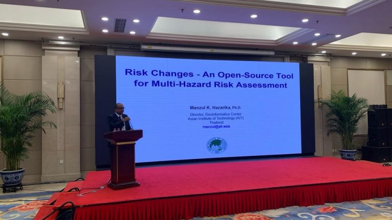
Dr. Manzul Kumar Hazarika, Director of GIC, made a presentation on “Risk Changes – An Open-Source Tool for Multi-Hazard Risk Assessment”. RiskChanges is a Spatial Decision Support System for analyzing current and future multi-hazard risks at local and regional levels to analyze optimal risk reduction alternatives. The platform is being jointly developed by GIC and ITC (Netherlands). The platform includes several major features – handle multi-hazards in the form of frequency or susceptibility maps for given return periods, use of multiple assets (points, lines, building footprints, land parcel polygons), vulnerability curve database where users can contribute their curves or use existing ones, a multi-user approach where various uses can contribute to the same project, the comparison of risk reduction alternatives, and the analysis of different future scenarios.
The Sub-Forum, organized by the National Disaster Reduction Centre of China with the support of the UN-SPIDER Beijing Office, includes a variety of presentations from several institutions in China, the United Nations, and disaster management agencies of several countries in Asia, Africa, and Latin America.