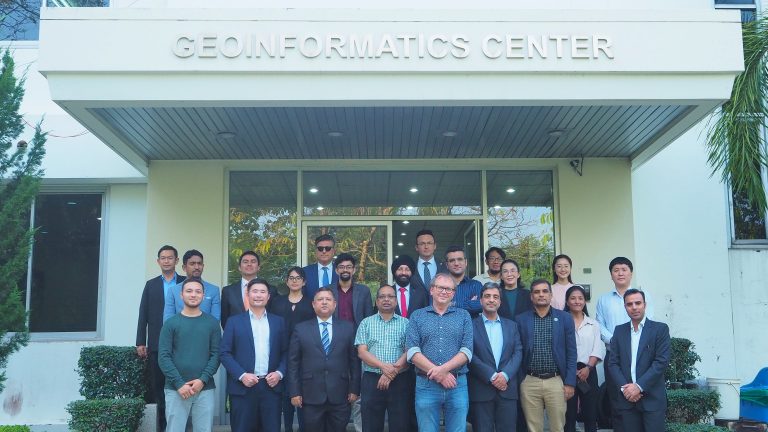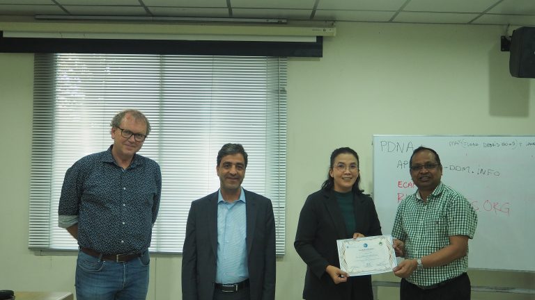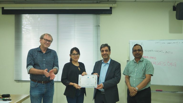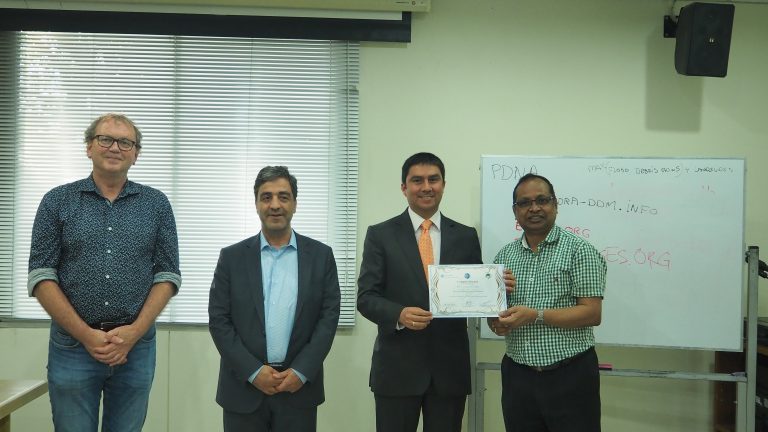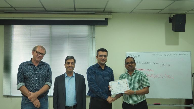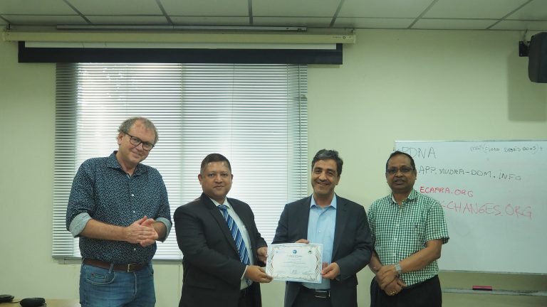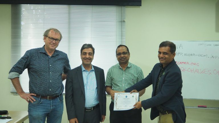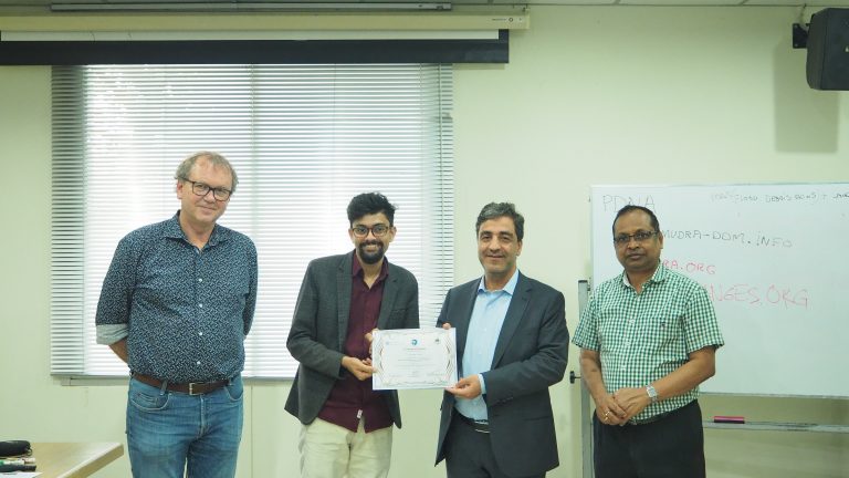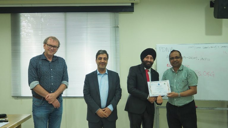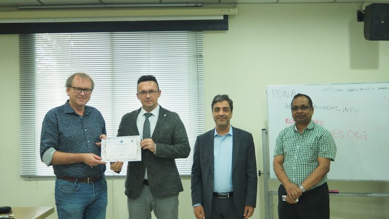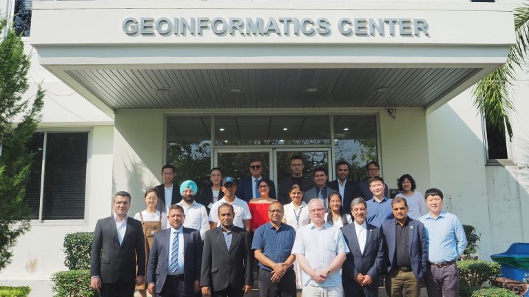
A training on dynamic multi-hazard risk assessment for risk reduction planning was held on 10 – 15 December 2022 at GIC, AIT. The training was jointly organized by the United Nations Office for Outer Space Affairs (UNOOSA), the Asia-Pacific Space Cooperation Organization (APSCO), the Geoinformatics Center, Asian Institute of Technology (GIC-AIT), and the Centre for Disaster Resilience, ITC, University of Twente (CDR-UT). Fifteen participants from Asian and South American countries including Bangladesh, India, Iran, Mongolia, Nepal, Pakistan, Peru, Thailand, and Turkey participated in the training.
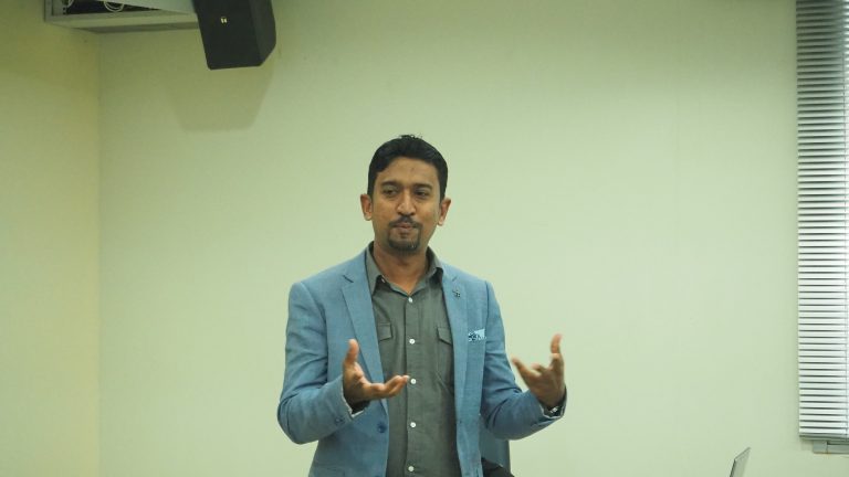
The objective of this course is to provide an overview of multi-hazard risk assessment and hands-on practical in a GIS environment. Participants were introduced to the concept of disaster risk management and the role of space-based remote sensing technology. A series of lectures and practical exercises using ILWIS software were given on hazard, element-at-risk and vulnerability data, loss estimation, and risk assessment on different risk reduction alternatives and changes in future scenarios of climate and land use change. During the training, the participants were introduced to an open-source and cloud based Spatial Decision Support tool called RiskChanges, that allows them to assess and evaluate the current and future multi-hazard risk at local level, and to analyze optimal risk reduction alternatives
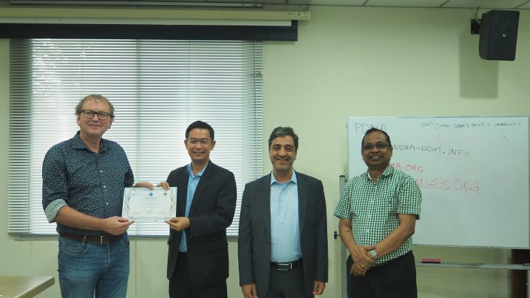
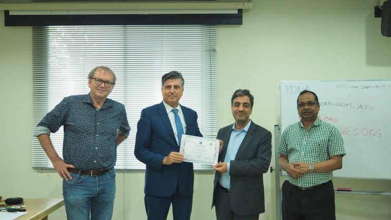
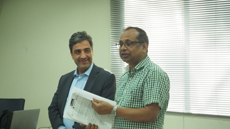
Resource persons for this training were Prof. Cees van Westen (CDR-UT), Dr. Manzul Kumar Hazarika, Mr. Syams Nashrrullah, Mr. Anish Ratna Shakya (GIC-AIT), Mr. Niranga Alahacoon (IWMI), and Mr. Lorant Czaran (UNOOSA). The training has accomplished the astonishing participation where the participants were keen to develop the different aspects on the disaster risk reduction through the stakeholder involvements, and different roles and tools to comply the aspect of disaster risk management (DRM).