Application of Remote Sensing and GIS for Earthquake Hazard Mapping and Vulnerability Assessment in Kathmandu Valley
Descriptions
The project was sponsored by the Japan Aerospace Exploration Agency (JAXA) as part of the capacity building program developed for the Asian region in applications of Remote Sensing and GIS in disaster and environmental issues. The main objective of this project was to assess the seismic hazard, vulnerability and risk in Kathmandu valley considering different earthquake scenarios.
Main activities were 1) preparation of seismic hazard maps, 2) preparation of vulnerability maps, 3) risk assessment of buildings, and 4) suggestion for mitigation measures.
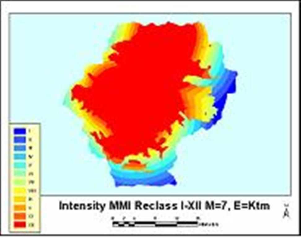
Risk assessment methodology was based on the technical manual of HAZUS, developed by the US Federal Emergency Management Agency. The earthquake scenarios were developed using Nepal historical earthquake catalogue and earthquake hazard maps were prepared including Peak Ground Acceleration (PGA) maps, Liquefaction probability maps, Lateral displacement maps and Intensity hazard maps on the basis of the earthquake magnitudes, epicenter distances and soil amplification maps. Vulnerability assessment was carried out for buildings and populations. Building vulnerability was done for different building types and earthquake intensities based on the field work conducted in the study area, while population vulnerability was made according to various earthquake intensities, land use type, and day or night population distributions. Detail risk assessment was done for Chakupat area of Lalitpur–sub metropolitan district, and total expected loss was estimated from building damage. Mitigation measures were suggested for disaster preparedness including micro-zonation, retrofitting building structures, enforcing national building code, public awareness programs, and evacuation scenarios.

