Assessment of Land Degradation in Taats River Basin of Mongolia Using Satellite Images and Socio-economic Data
The main objective of this study was to assess land degradation using satellite and analyze the contribution of physical, biological, climatic, and socioeconomic factors in land degradation.
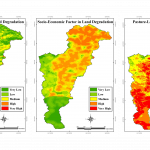
Degradation of rangelands in Mongolia, including in the Taats river basin, is occurring on a large scale. Physical and biological factors were considered to identify the physical vulnerability of the pasture lands to land degradation. Soil types and slope aspects were used to analyze the physical factors, while above-ground biomass (AGB) and leaf area index (LAI) were used to analyze the biological factors. AGB defines pasture land’s carrying capacity, which is the number of livestock that can be raised economically in a sustainable manner for a particular grazing land throughout the grazing season. LAI also defines the ratio of exposed and protected land by vegetation coverage, which is essential to analyze the impacts of climatic factors on land degradation. A physical vulnerability map to land degradation was produced, overlaying all these factors.
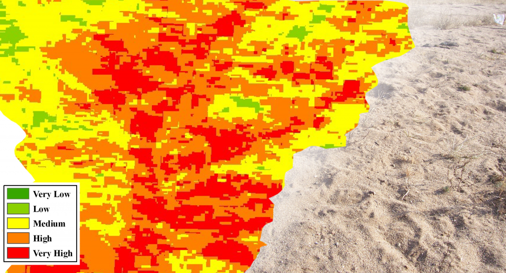
Similarly, camp locations in different seasons, locations of water points, population density, and livestock density were used to assess socioeconomic factors for land degradation. A map combining these factors was produced to show the socioeconomic impacts on pastureland degradation. Finally, the physical vulnerability map and the socioeconomic impact map were integrated to classify the level of land degradation in the study area. This map will be used to prioritize resource allocations and develop a sustainable pasture land management strategy. The result shows that remote sensing data can provide helpful information and understanding of different contributing factors in land degradation.


