Special Training on Flood Risk Assessment

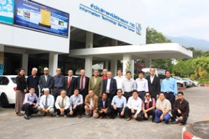
Special Training on Flood Risk Assessment Geoinformatics Center of Asian Institute of Technology conducted a Special Training on Flood Risk Assessment including Application of Remote Sensing, GIS and Flood Modelling from 08th to 19th December 2014. There were five Read More

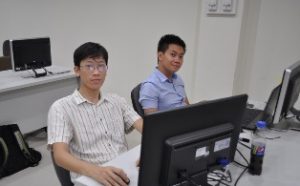
JAXA Mini Project 2014 Phase II

JAXA Mini Project 2014 Phase II Phase II of JAXA sponsored Mini Project 2014 was held from 10th November to 5th December 2014 at Geoinformatics Center (GIC). Two participants each from Cambodia, Indonesia and Vietnam worked closely with their respective project Read More

JAXA MP 2014 Phase-I – Myanmar

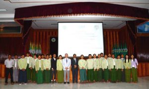
JAXA MP 2014 Phase-I – Myanmar Geoinformatics Center (GIC) conducted a Workshop on the use of remote sensing for forestry and biomass estimation on 7 November 2014 in Ministry of Ecological Conservation and Forestry (MOECAF), Nay Pyi Taw, Myanmar. Read More

Application of Microwave Remote Sensing

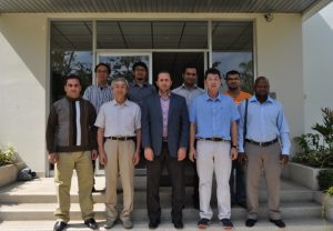
Application of Microwave Remote Sensing A three day customized professional development training program was organized by Geoinformatics Center (GIC) for the licensed surveyors of Malaysia with the close coordination of Surveyor Association of Malaysia (PEJUTA). The training was held Read More

JAXA MP 2014 Phase-I – Vietnam

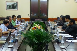
JAXA MP 2014 Phase-I – Vietnam Geoinformatics Center (GIC) conducted a one day workshop and two days follow-up discussion on Utilization of Remote Sensing and GIS for Disaster Management in Hanoi, Vietnam from 8th to 10th October, 2014. Prior Read More