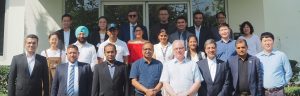
Launch and Training of PyAEZ V2.0.0

Following the success of the agro-ecological zoning (AEZ) methodology developed by FAO and IIASA since June 2021, GIC leads the development on PyAEZ (Python library for AEZ framework) to complement with the scalability of the tool and enabling the Read More

Python for Geospatial Data Analysis Training Course

Python for Geospatial Data AnalysisThe Python course teaches participants how to use the scripting language to perform common tasks with vector and raster data that they would ordinarily perform in a GIS with a graphical user interface. Users will Read More

Basics of Google Earth Engine Training Course

Basics of Google Earth Engine The Google Earth Engine Course provides an introduction to vector and raster data manipulation with the Google Earth Engine Code Editor. Participants will use Javascript to access the vast catalog of satellite imagery available Read More