8th Training Program on GIS for Disaster Risk Management

8th Training Program on GIS for Disaster Risk Management Geoinformatics Center jointly organized a 2 week training course with Asian Disaster Preparedness Center (ADPC), The International Institute for Geo-Information Science and Earth Observation, University of Twente (ITC) and UNITAR’S Read More

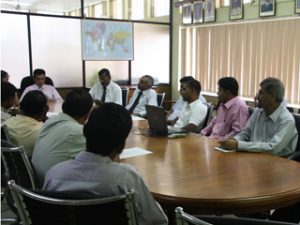
Optical and SAR Data Usage for Wetland Mapping

Optical and SAR Data Usage for Wetland Mapping GIC organized a 5 days highly technical training program on “Optical and SAR data usage for wetland mapping” for Central Environmental Authority (CEA) and other stakeholders of Sri Lanka under the Read More

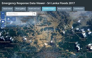
Emergency Response Data Viewer for Sri Lanka Flood

Emergency Response Data Viewer for Sri Lanka Flood Geoinformatics Center (GIC) of Asian Institute of Technology (AIT) has prepared dynamic emergency response maps in response to the Sri Lanka floods that have affected 15 districts. The data viewer combines Read More

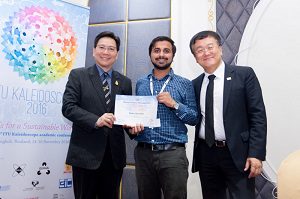
GIC Staff Awarded in ITU Kaleidoscope Conference

GIC Staff Awarded in ITU Kaleidoscope Conference GIC staff, Biplov Bhandari won the Young Author Recognition Award at the 8th ITU Kaleidoscope Academic Conference held in Bangkok, Thailand in November 2016. Further, their paper titled “Intricacies of implementing an Read More

Potential Applications of UAVs in Disaster Risk Assessment

Potential Applications of UAVs in Disaster Risk Assessment The Geoinformatics Center of Asian Institute of Technology, organized a special lecture on Potential Applications of UAVs in Disaster Risk Assessment, Monitoring and Response on 26th October 2016. The guest speaker Read More