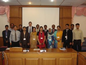
Applications of RS for Topographical Mapping
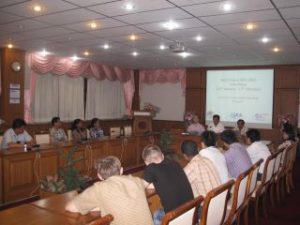
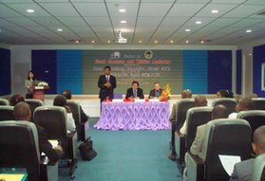
Applications of RS for Topographical Mapping GIC in collaboration with PASCO/ FINNMAP organized a four week training program on “Applications of Remote Sensing for Topographical Mapping” . The program was held at Srinakharinwirot University, Bangkok. The training was carried Read More

