Development of an Accurate Flood Map by Integrating Satellite Data & MIKE 11 Flood Model
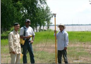
Development of an Accurate Flood Map by Integrating Satellite Data & MIKE 11 Flood Model Year: 2006-2007Country: BangladeshLocation within country: Munshiganj district Descriptions The objective of the study was to develop an accurate flood inundation map in Munshiganj district Read More