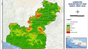

Flood Hazard Map for Effective Flood Management in the Mekong Delta
Area : Mekong delta, VietnamClient : JAXAStart Year : Apr 2012End Year : Mar 2013Partners : – Integration of Remote Sensing Data with a Numerical Model to Read More

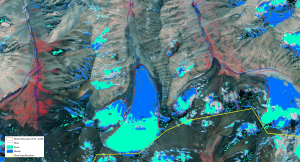
Assessment of the Current State of Glaciers in Uzbekistan
Area : UzbekistanClient : JAXAStart Year : Apr 2012End Year : Mar 2013Partners : – Assessment of the Current State of Glaciers in Uzbekistan The objectives of Read More

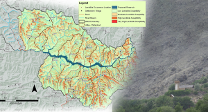
Landslide Susceptibility Mapping in Basha Diamer Dam Area Using Remote Sensing and Modelling Techniques
Area : Diamer, Gilgit-Baltistan ProvinceClient : JAXAStart Year : Apr 2012End Year : Mar 2013Partners : – Landslide Susceptibility Mapping in Basha Diamer Dam Area Using Remote Read More

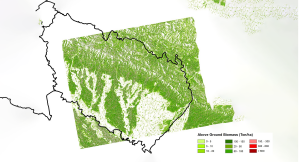
Development of a Forest Canopy and Biomass Measuring Technique using Remote Sensing
Area : Kailali and Chitwan, NepalClient : JAXAStart Year : Apr 2012End Year : Mar 2013Partners : – Development of a Forest Canopy and Biomass Measuring Technique Read More
