Geo-DRM Training in Bhutan

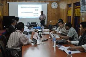
Geo-DRM Training in Bhutan Geoinformatics Center conducted a two-day training in Bhutan to implement Geo-referenced Information Systems for Disaster Risk Management (Geo-DRM), from 3rd to 4th June 2015. The program was organized and sponsored by the Economic and Social Commission for Read More

Training on Geo-Hydroinformatics

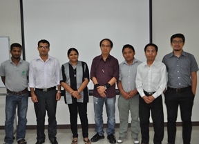
Training on Geo-Hydroinformatics Geoinformatics Center of Asian Institute of Technology conducted a Training on Geo-Hydroinformatics including Application of Remote Sensing, GIS and Hydrological Modelling from 30th March to 10th April 2014. Participants were from Bhutan, Sri Lanka and Thailand. Read More

JAXA Mini Project 2014 Phase III – Cambodia

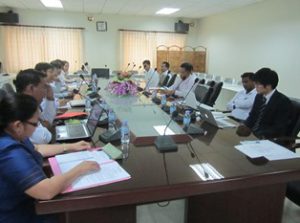
JAXA Mini Project 2014 Phase III – Cambodia The workshop for disseminating results of Cambidian Mini-Project was held in Department of Planning and Statistics, Ministry of Agriculture Fisheries and Forestry on 20 February 2015. Around fifteen participants from different Read More

JAXA Mini Project 2014 Phase III – Vietnam

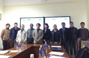
JAXA Mini Project 2014 Phase III – Vietnam Geoinformatics Center (GIC) conducted a workshop for disseminating results of Mini Project on “Application of Remote Sensing and GIS for flood mapping and emergency response in Vietnam”. The program was the Read More

Special Training on Flood Risk Assessment

Special Training on Flood Risk Assessment Geoinformatics Center of Asian Institute of Technology conducted a Special Training on Flood Risk Assessment including Application of Remote Sensing, GIS and Flood Modelling from 08th to 19th December 2014. There were five Read More