

Area : Bangladesh
Client : JAXA
Start Year : Sept 2013
End Year : Mar 2014
Partners : –


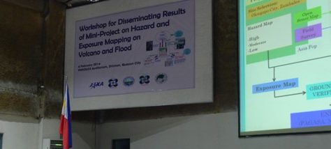
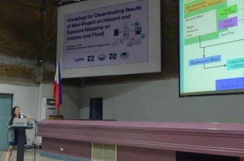

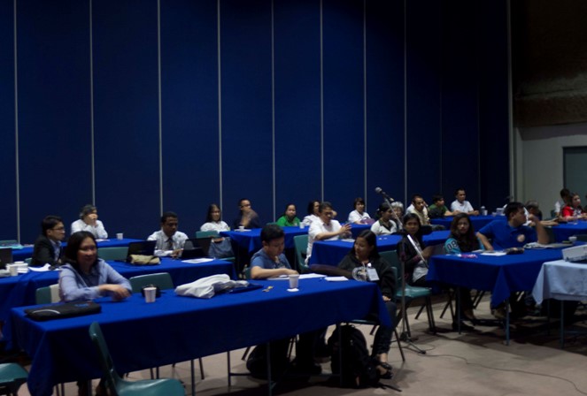

Flood Hazard and Exposure Mapping: A Case Study in Olongapo City, Zambales
Floods are one of the major hazards affecting in Bangladesh almost every year. It causes damage to properties, lives, natural resources and environment. Bangladesh is the largest delta in the world, formed by three major river systems; the Ganges, Brahmaputra and Meghna. Country’s low-lying riverine land traversed by the many branches and tributaries of these three river systems makes it highly flood prone. The average annual rainfall is about 2,200mm. About 75 % of the land is less than 10.0m above the sea level. Flooding normally occurs during the monsoon season from June to September. Every year around 20% of the country is normally flooded. During severe floods, the affected area may, be high as 75 % of the total area. The floods have caused havoc in Bangladesh throughout history, especially, in during the year 1966, 1987, 1988 and 1998.
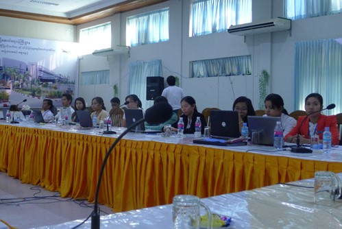
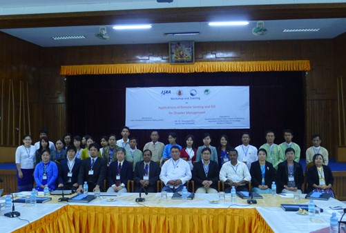
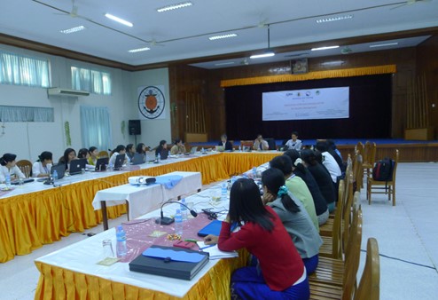
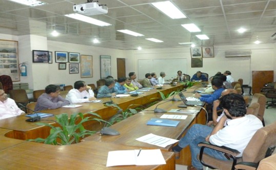
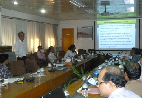
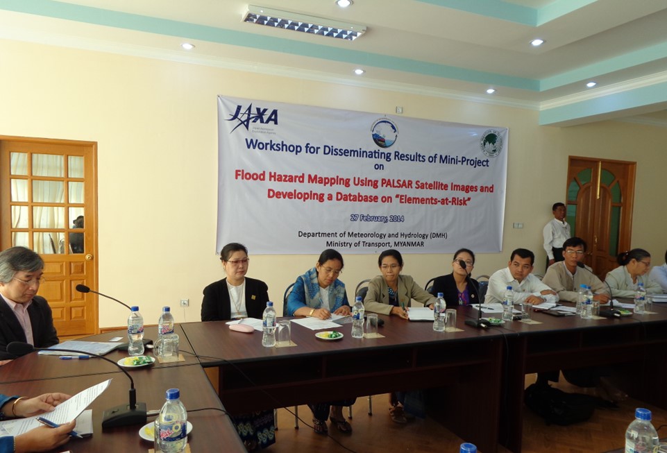
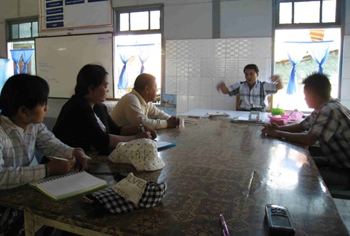
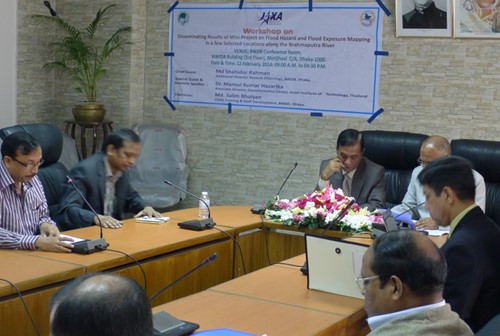
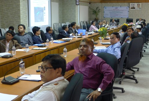
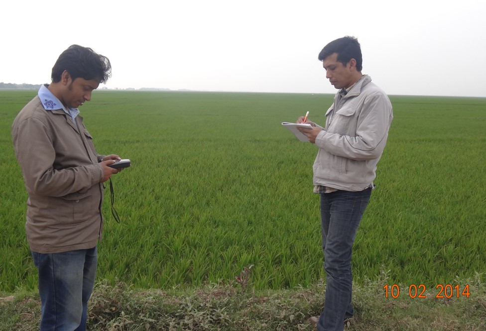
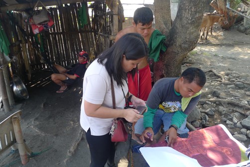
The major aim of this project is to develop a comprehensive building database for preparing value-added products for response activities at the time of a disaster. In this study, three selected areas were located at the vicinity of Brahmaputra river namely Sirajganj, Gaibandha and Jamalpur which are frequently subjected to flood and river bank erosion. Flood maps of the study area were collected from BWDB and population density map was obtained from Asia Pop data. Overall around 21,000 buildings were digitized. These datasets were uploaded to the web server at AIT and shared with all participants and agencies.
The most important contribution of the project is the database on elements-at-risk, which was prepared during the project. It contains digitized building footprints of the study area, flood hazard maps, administrative boundaries and population density maps. This data can be used at the time of disaster for rapid damage assessment and response activities. In country capacity was also developed. Web-GIS technology was introduced, which is important for data sharing among concerned organizations.
Objectives
- To develop a comprehensive database of building footprints of the study area
- To develop capacity to use ALOS/PALSAR data for rapid flood mapping
- To identify the buildings exposed to floods