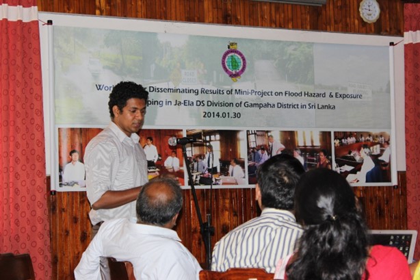
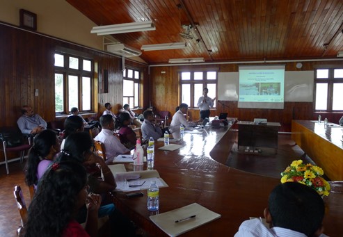
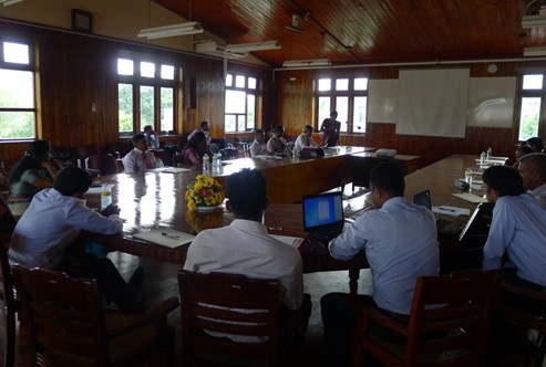
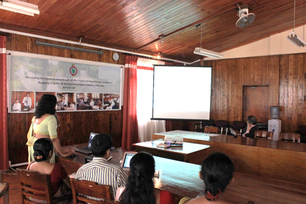
Flood Hazard and Exposure Mapping in Ja-ela City, Gampaha District, Sri Lanka
Area : Srilanka Client : JAXA Start Year : Sept 2013 End Year : Mar 2014 Partners : Survey Department, Disaster Management Centre (DMC)
Flood Hazard and Exposure Mapping in Ja-ela City, Gampaha District, Sri Lanka
Sri Lanka is, often affected by weather related hazard among which flood is the most frequent one. There are 103 river basins in Sri Lanka and Mahaweli, Kalu, Kelani, Nilwala and Gin cause devastating flood. Gampaha district is one of the fastest developing districts of Sri Lanka. According to the situation reports of the Disaster Management Centre, this district is severely affected by flood due to torrential rain resulting from the southwest monsoon. Flood is causing damages to various facilities such as buildings, road and bridges. Thus, better flood mitigation measures are important to minimize the impact from future flood in the region.
Through this Mini-Project, an elements-at-risk database was developed for rapid flood damage estimation and identifying evacuation centers. This project would also facilitate a framework for spatial data sharing among key agencies at the time of mitigation disaster.