
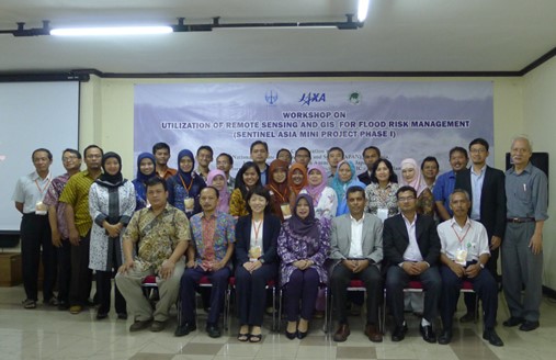
Area : Indonesia
Client : JAXA
Start Year : Sept 2014
End Year : Mar 2015
Partners : LAPAN, BIG


Flood Hazard and Exposure Mapping in the Ciliwung Watershed, Jakarta City, Indonesia
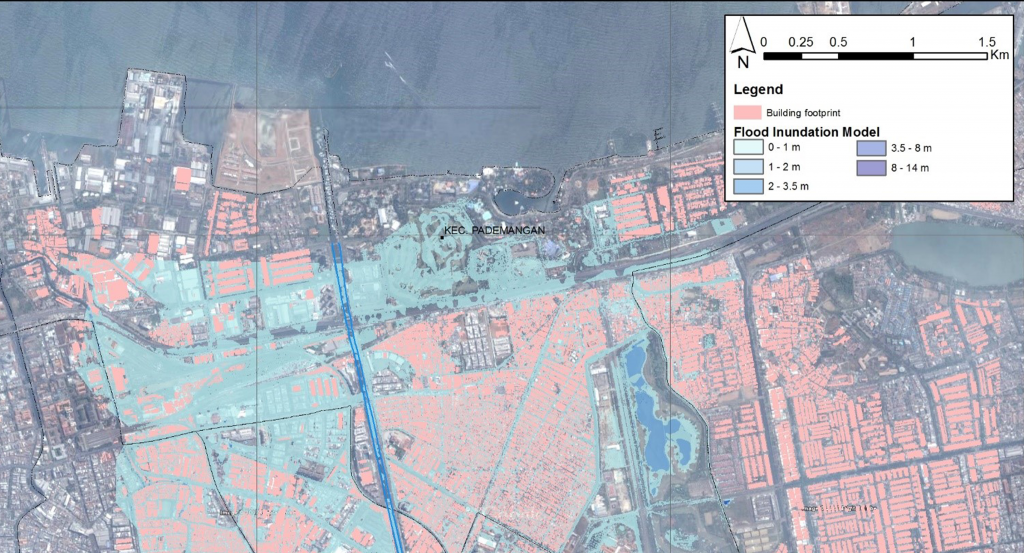
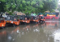
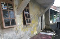
Indonesia is one of the countries in the Asia-Pacific region that faces various disasters, among which flooding is one of the most frequent events. It causes damage to property, lives, natural resources, and the environment. The problem of flooding is due to unplanned land use change without environment sustainability, and poor watershed management practice. This study was conducted in the Ciliwung watershed, which lies in Jakarta and faces the problem of flooding almost every year. The size of this watershed is about 347 sq.km with the length of the river about 117 km. The upper part of the watershed experiences heavy rainfall with an annual average rainfall of about 3,000-4,000 mm. The middle and lower part is mainly dominated by the dense urban area. For this reason, almost every year this watershed experiences flooding. Recently, during January 2014, it experienced a huge flood causing much economic damage in Jakarta.
This study used IFAS (Integrated Flood Analysis System) developed together by PWRI and ICHARM. The model was set up using a 500m user-defined DEM, global land use and soil map. The model is calibrated using a 3-tank layer configuration during the big flood event from 1st January until 28th February, 2013. The model was calibrated with the satisfactory model performance of NSE greater than 0.7 and a coefficient of determination (R2) greater than 0.9. The calibrated model was then simulated for various extreme flooding events. The study was extended with the development of a 1D flood model using HEC-RAS for the middle and lower part of the study area. The flood map was prepared from the model output which was verified in the field later, and which shows a satisfactory result. Similarly, ALOS/PALSAR data was processed to generate the flood map. However, identifying flooding in urban areas such as Jakarta is difficult due to the high backscatter response from buildings. For the population affected by floods, flood maps were overlaid with the population maps obtained from AsiaPop to get a quick estimation of the number of people affected by the floods. An overall area of about 13 sq. km was found to be flooded affecting around 185,000 people.