
Area : Myanmar
Client : JAXA
Start Year : Sept 2014
End Year : Mar 2015
Partners : DPS, MAFF
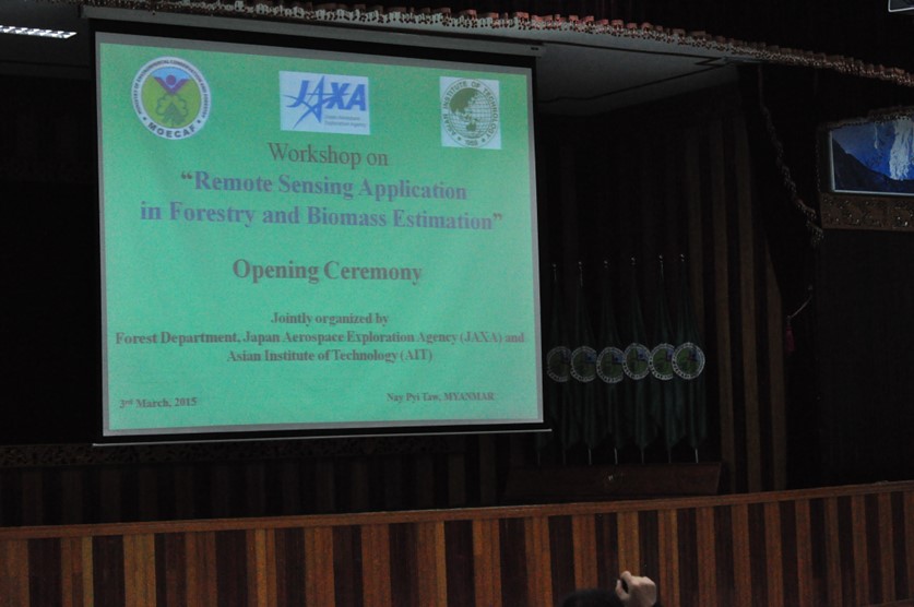
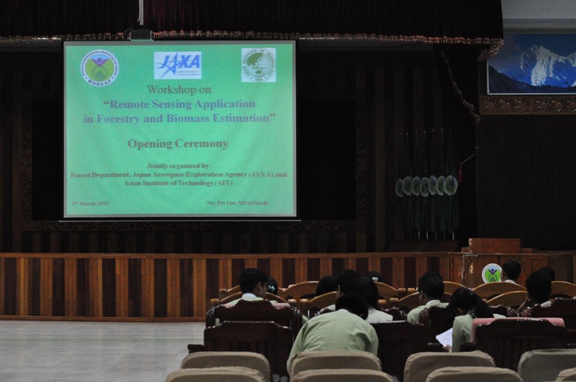
Remote Sensing Application in Forestry and Biomass Estimation in Myanmar
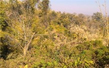
Myanmar has one of the largest forest covers in mainland Southeast Asia – almost 47% of the total land area is forested; i.e., areas with the minimum threshold of canopy cover more than 10% (FAO, 2010 in Mon et al. 2012). It possesses some of the last strongholds for tropical dry forests and these forests are important sources of bio-diversity (Songer et al. 2009).
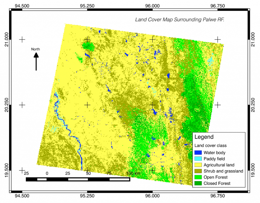
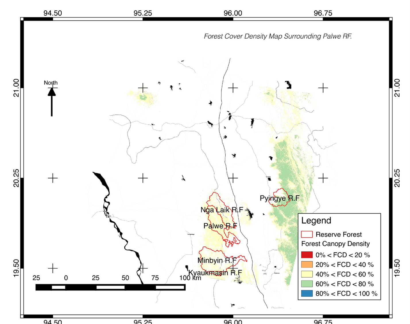
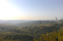
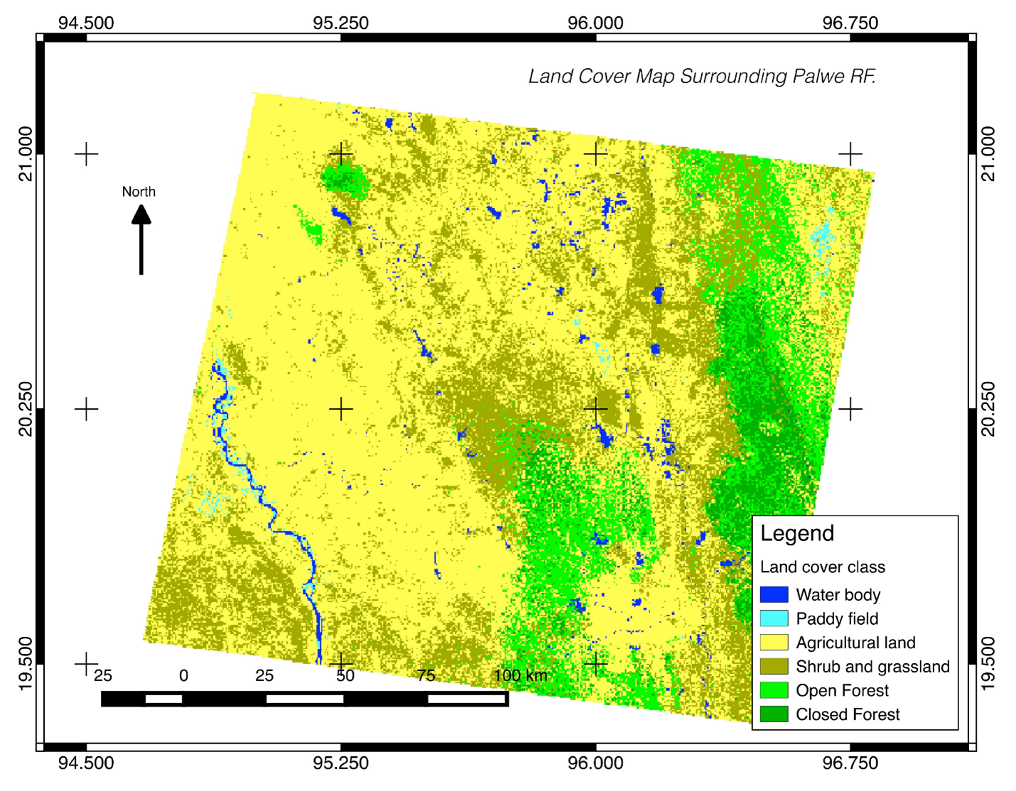
Myanmar’s forests have been facing high pressure from increased resource utilization associated with population growth and high demand from neighboring countries (Brunner et al., 1998; Laurance, 2007) and also from hydroelectric development (Ministry of Information 2002 in Songer et al. 2009). Myanmar’s forest areas were reduced from 49% in 2005 to 47% in 2010 (FAO, 2005, 2010). Mon et al. (2010) examined deforestation and forest degradation between 1989 and 2006 in the Bago Mountain area, Myanmar, revealing that the annual rate of forest degradation was much higher (2.5%) than that of deforestation (0.2%). For this study, Palwe Nature Reserve was selected as the study area for this project. It is located near Nay Pyi Taw and previous field measurement had been taken in the area in 2007.
Forest Department of Myanmar have been conducting work on the use of remote sensing and GIS for REDD+ projects in Myanmar. These works mostly used optical data such as Landsat TM and IRS.Mini Project contributed in increasing the knowledge and capacity of Myanmar’s Forest Department officer in the use of radar data especially ALOS PALSAR, and on how to use open source statistical software (R) to model the relationship between remote sensing and field data.
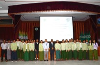
Besides the contribution in capacity building, Mini Project also contributed in building the network between stakeholders by conducting dissemination workshop. The stakeholders are Department of Meteorology and Hydrology, Survey and Land Record Department and Myanmar Timber Enterprise.