
Area : Cambodia
Client : JAXA
Start Year : Sept 2013
End Year : Mar 2014
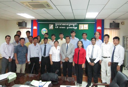
Partners : DPS, MAFF
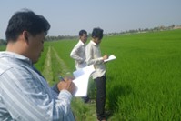
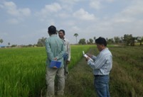
Rice Crop Monitoring and Yield Estimation in Kampong Chhnang, Kampong Speu and Takeo Provinces of Cambodia
Cambodia has a land area of 181,035 km2 in the southwestern part of the Indo-China peninsula. Seventy percent of the populations in Cambodia are engaged in agriculture and it contributes 27.5% of GDP. Rice is the major crop in Mekong region. The study area covers three major rice-cultivating provinces, namely Kampong Chhnang, Kampong Spue and Takeo. Simple threshold techniques in MODIS-NDVI time series data were used to estimate the rice growing areas, cropping intensity and start of the season. In addition, nine years of historical maximum seasonal NDVI data and statistical data published by the Department of Planning and Statistics (DPS) were used to build location specific yield forecasting model for Wet and Dry seasons using linear regression analysis.
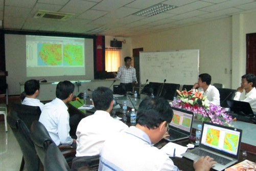
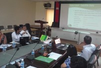
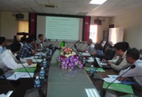
Province level rice cultivation area maps for wet (May to November) and dry (December to April) season were mapped using MODIS-NDVI time series data for year 2011-12. The area from satellite data was compared with rice statistics and land use data. Province level start dates of rice cultivation were mapped by matching with the crop calendar and rainfall. Rice yield forecasting models were developed with historical MODIS-NDVI time series data and historical rice production statistics. Such models were developed for wet and dry seasons in Takeo province and wet season in Kampong Chhnang province. The coefficients of determination (R2) values are 0.94, 0.60 and 0.46 for wet season and dry season in Takeo province and wet season in Kampong Chhnang province respectively. Production for wet season in 2013 was predicted using calibrated yield-forecasting models and compared with rice statistics and there was 80% conformity between the two.