
Area : Nepal
Client : JAXA
Start Year : Apr 2015
End Year : Mar 2016
Partners : DHM, DWIDP

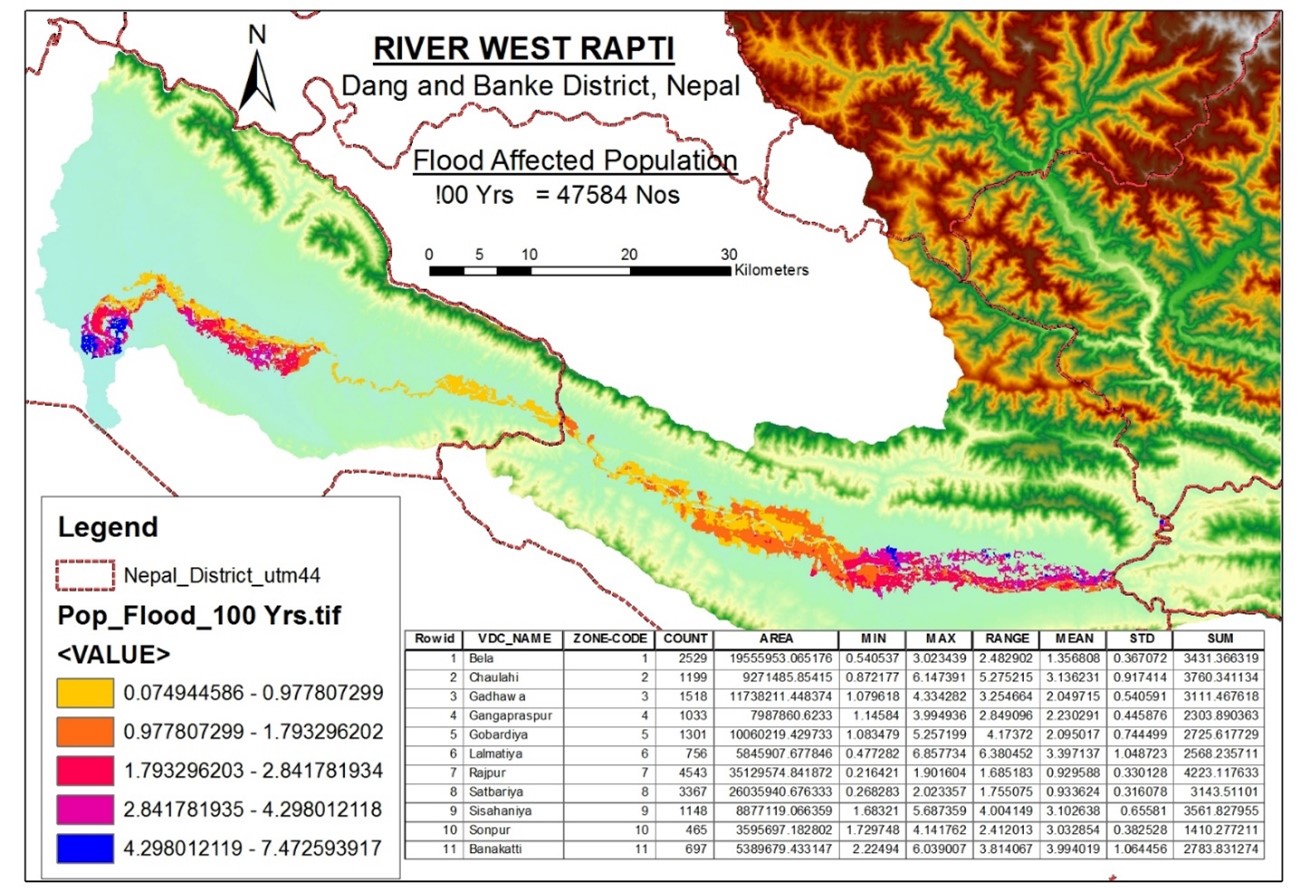
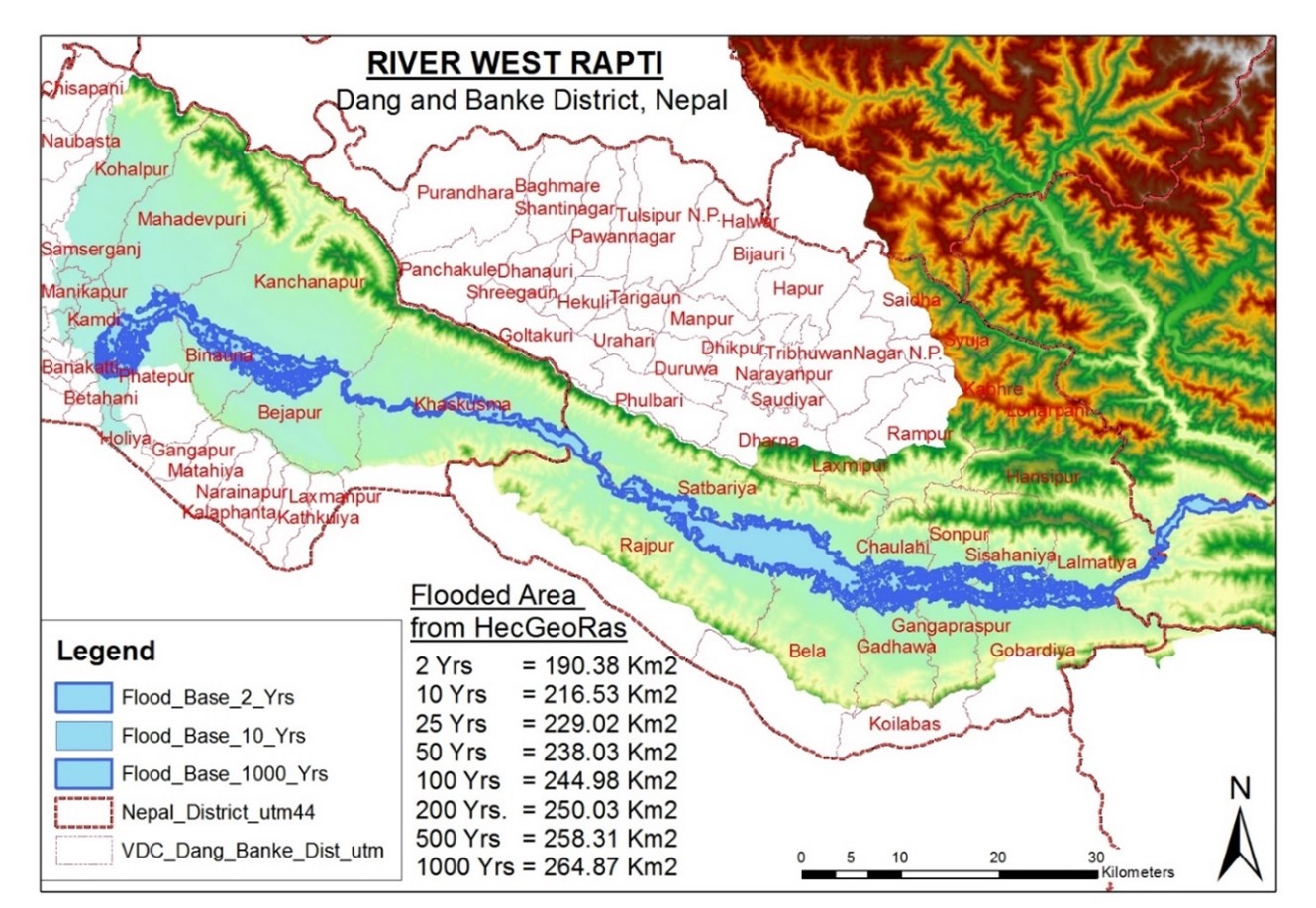

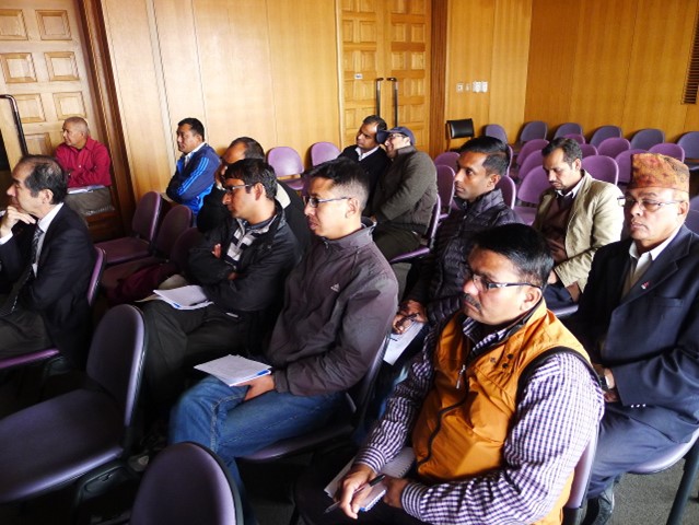


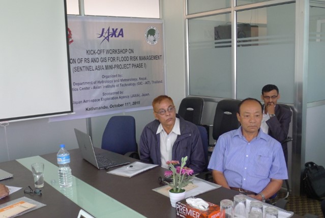
Flood Hazard Modelling and Mapping in West Rapti River Basin, Nepal
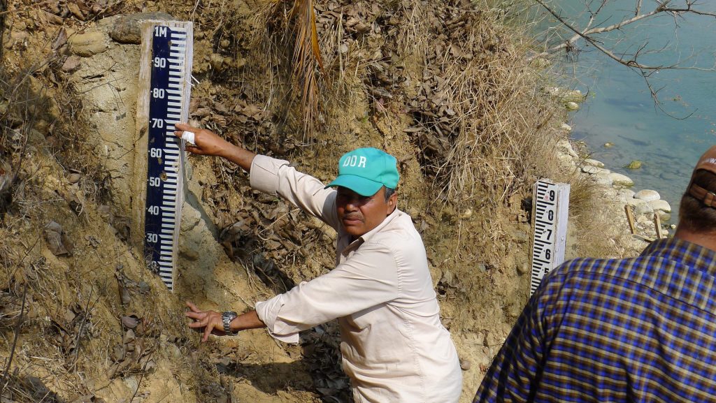
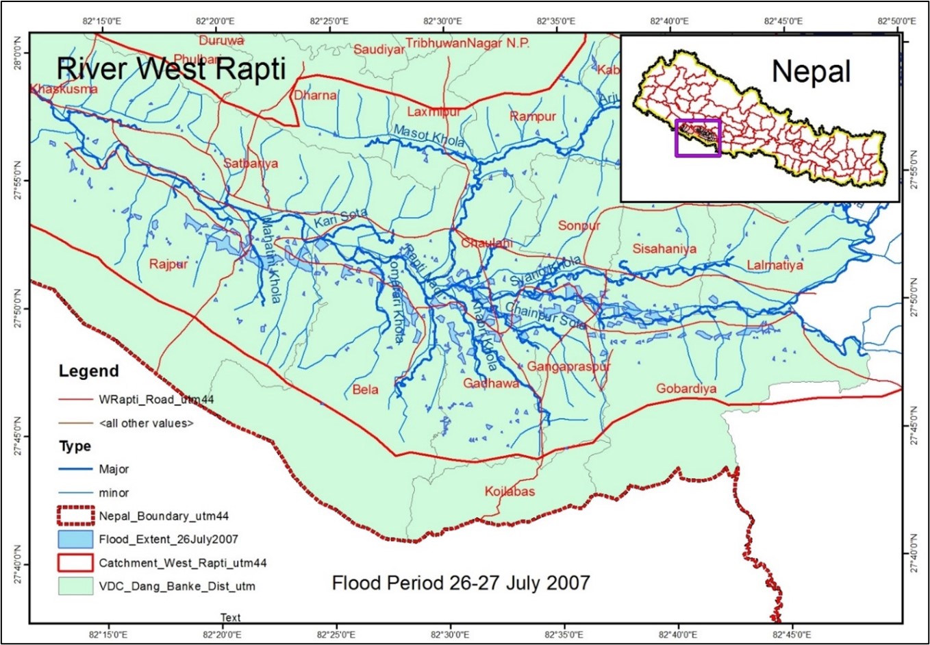
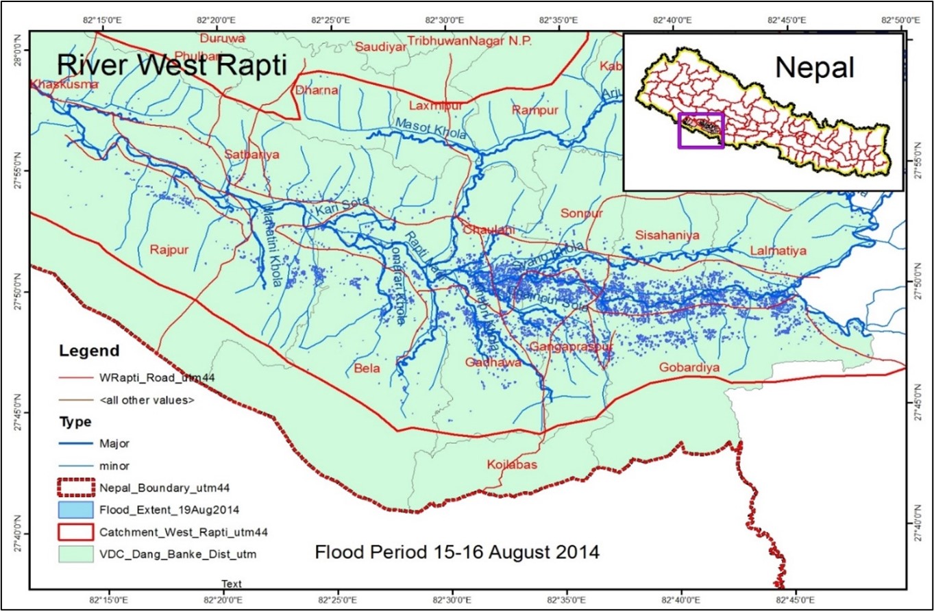
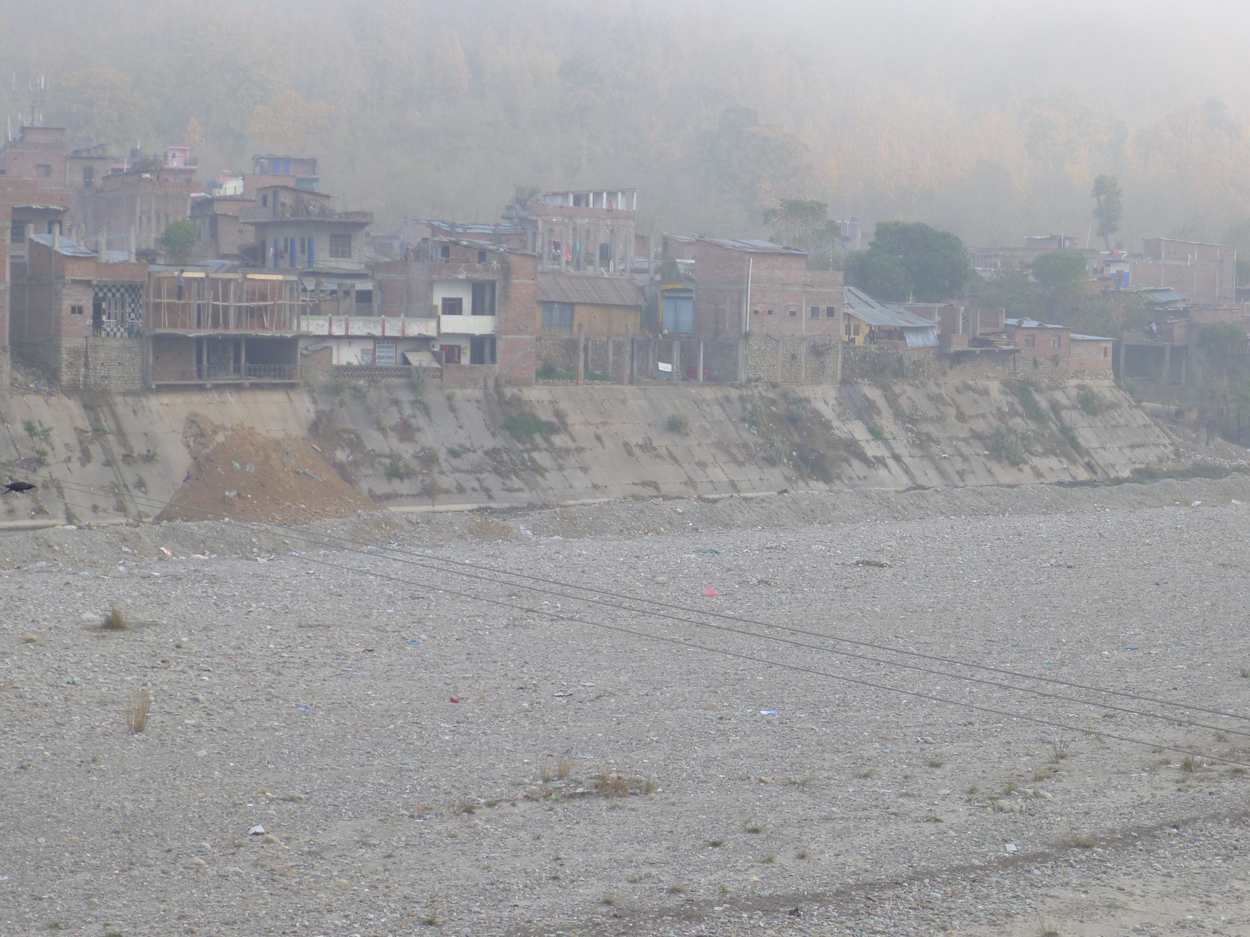
The objectives of this project were: 1) To simulate a discharge hydrograph at the upstream station using a hydrological model (VMoD, IFAS), 2) To apply the simulated discharge hydrograph to a hydraulic model (HEC-RAS, HEC-GeoRAS), 3) To apply various return periods of flooding using extreme value analysis techniques, 4) To prepare inundation maps for various return years of flooding, and 5) To identify flood inundation areas using pre- and post-disaster imageries (ALOS and ALOS-2 data). The West Rapti River is one of the major rivers in Nepal, which flows through the Terai region and enters India from the southern border of Nepal. Besides natural factors, anthropogenic factors also trigger floods and disasters from the river. Encroachment of flood plains, obstruction of the natural flow of rivers and sheet flow, faulty drainage systems, and river training works also contribute to increased flooding and disasters. In the West Rapti basin, devastation due to floods is also increasing because of the rapid increase in the population and human activities. The flood plains are becoming increasingly crowded to meet the ever-rising demands for food and fiber, and consequently, the flood problem is exacerbated. Similarly, many hydraulic structures (dams/barrages and bunds) constructed in some places have also exacerbated the flood situation in the Terai region of the West Rapti River. Flood hazard maps of different scenarios were implemented in the West Rapti River basin. This study simulates a time series in the upstream section using a hydrological model, prepares a flood inundation/hazard map, and compares the results with satellite data of the West Rapti River. Hydrological processes in the catchment area are simulated using simplified physically based formulations implemented in the VMod model. The model results were calibrated and validated in the Bagasoti station and Jalakundi station and were then applied for different cross-sections as required by the HEC-RAS model. HEC-RAS was applied in the current study to simulate a one-dimensional hydraulic model, and flood inundation maps were then prepared for different return periods of flooding. Meanwhile, ALOS and ALOS-2 data were processed using the NEST, SNAP, and MapReady software programs. Color composites of pre- and post-flood ALOS/ALOS-2 images were prepared for the major flood events in the study area between 2007 and 2014. Finally, the flood inundation maps for these two events were extracted using the threshold value of the radar backscatter changes. |