
Area : Sri Lanka
Client : JAXA
Start Year : Apr 2015
End Year : Mar 2016
Partners : SD, NBRO
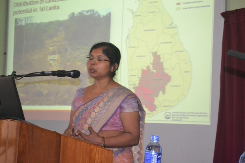
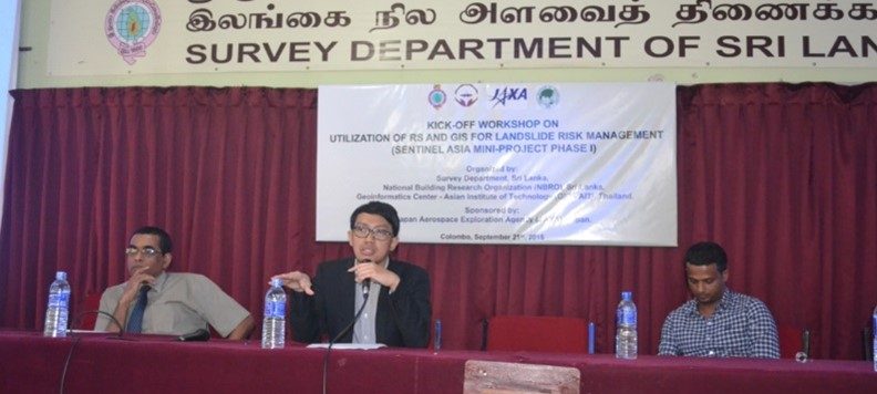
Landslide Susceptibility Modelling and Mapping in Badulla District, Sri Lanka
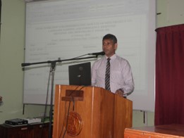
The objectives of this project were: 1) To produce a landslide susceptibility map for Badulla district using a logistic regression model, 2) To produce a population exposure map for landslides in Badulla district, and 3) To assess the applicability of using SAR images to identify landslides (a case study of the Meriyabedda landslide).
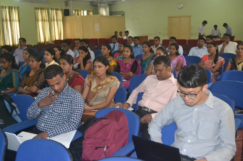
One of the most significant, frequent types of disaster in Sri Lanka and the most pressing natural disaster in the central highland part of the country is landslides. In recent years, landslides have increased in Sri Lanka, including the famous large-scale landslide in Badulla district on 29th October 2014 (the Meeriyabedda landslide).
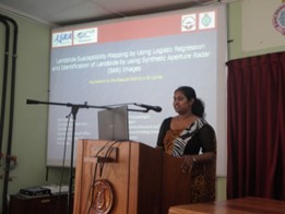
Using the landslide inventory and the constructed spatial datasets of contributing parameters such as slope, aspect, lithology data, land cover data, and distance from rivers and roads, a multiple logistic regression model was applied, and a landslide susceptibility map was made. The ArcSDM toolbox in ArcGIS was used for the data processing and analysis. Moreover, a landslide exposure map was prepared based on the susceptibility map using population data from WorldPop.
For landslide detection using SAR data, analysis of the backscatter change between pre-and post-landslide was done for the Meeriyabedda landslide. However, the difference between the backscattering intensity pre- and post-event cannot be detected due to the negligible changes in the surface roughness of the area after the landslide. In addition, the SAR interferometry technique was tested to detect the landslide area.