
Area : Bhutan
Client : JAXA
Start Year : Apr 2015
End Year : Mar 2016
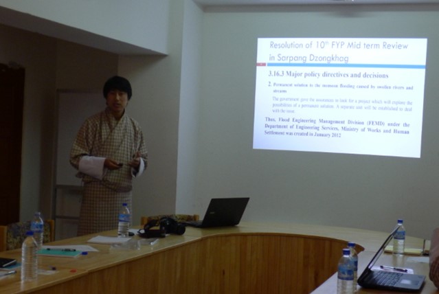
Partners : FEMD, DDM


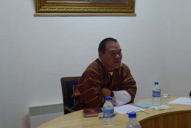

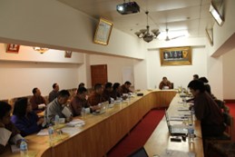

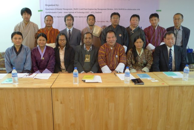
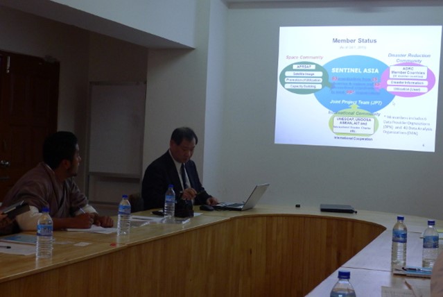
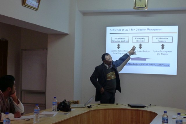
Flood Hazard Modelling and Mapping in Kolong Chu River Basin, Bhutan
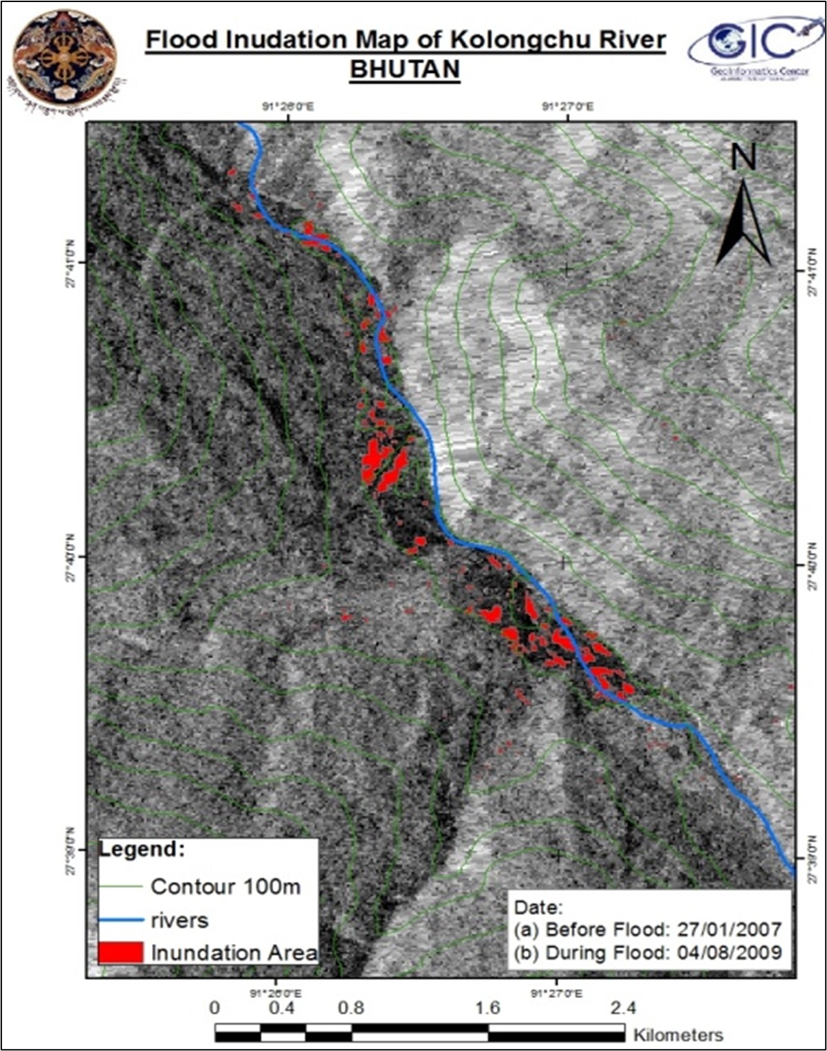
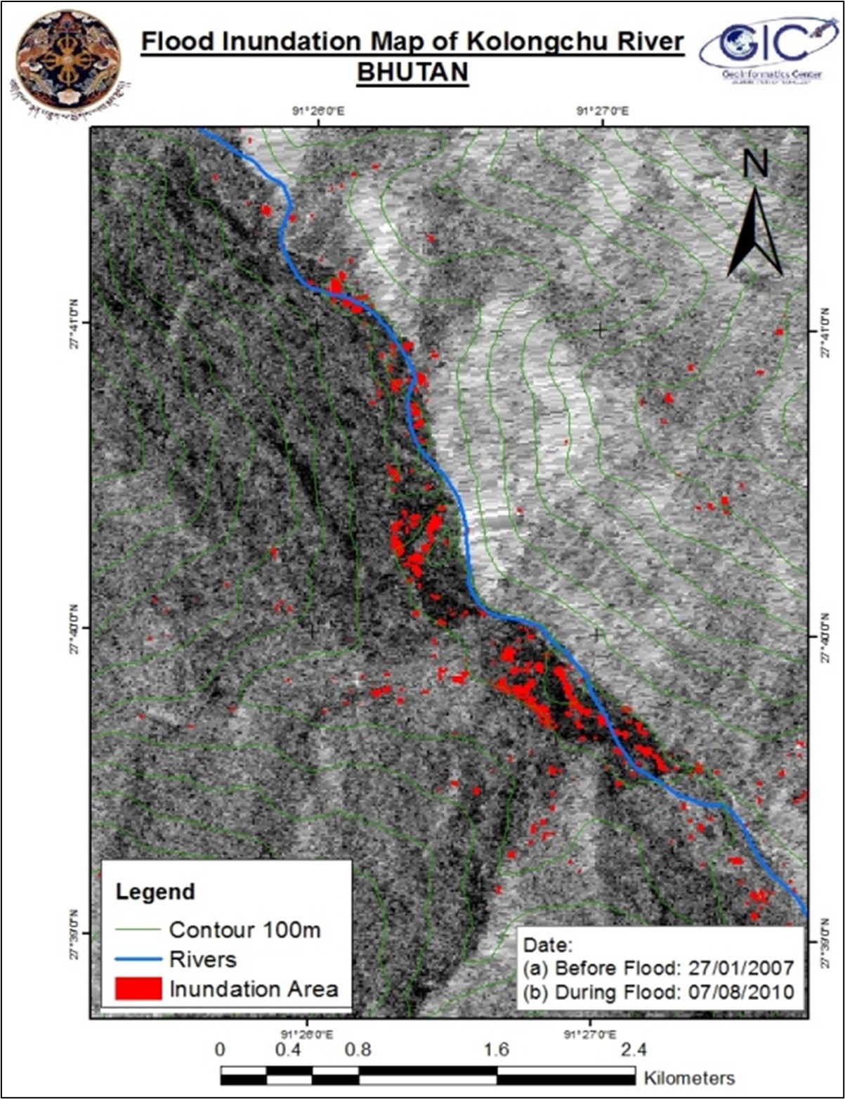
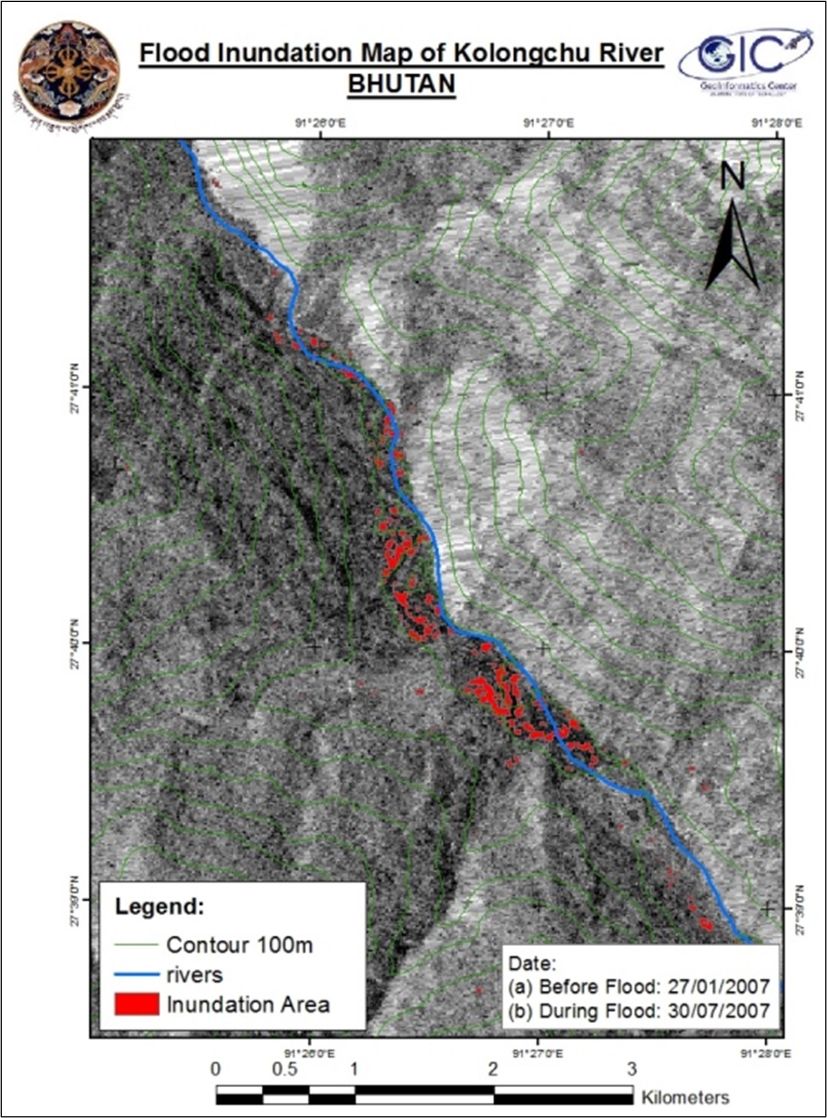
The objectives of this project were: 1) To prepare flood hazard maps in the Kolong Chu River basin using hydrological and hydrodynamic modeling and 2) To generate flood inundation maps using ALOS/ALOS-2 data.
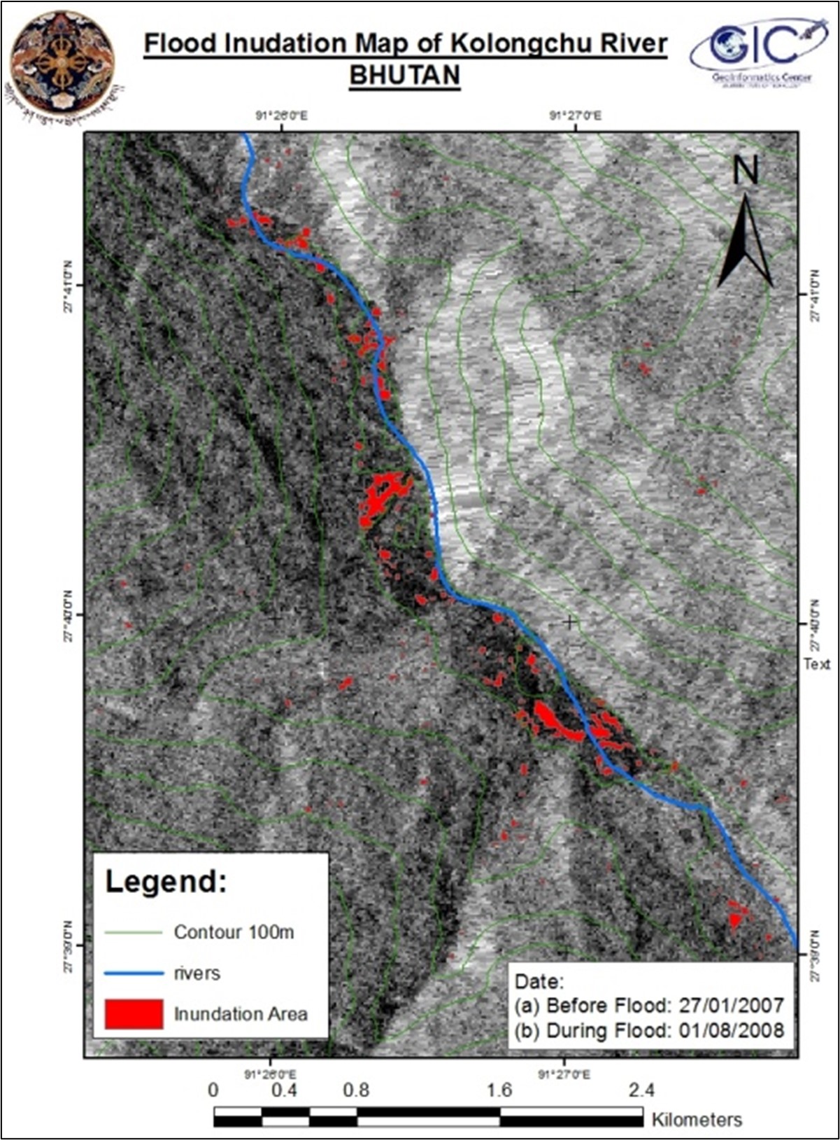
Bhutan has been hit often by heavy rainfall and flash floods and has a history of loss of life and damage to property due to flooding. Rivers in Bhutan are characterized by steep slopes in the upper catchment areas and are subject to intense seasonal rainfall and high erosion rates. The study area was the Kolong Chu River basin, a 1,177.40 sq. km area that has a long history of flooding, because of which farmers have lost many acres of their agricultural land.
For this study, the hydrological model IFAS could not be used to determine the calibrated discharge as only one rainfall station does not give a good simulation. However, a flood hazard map has been prepared in the affected area of the Bumdelling Valley using HEC-RAS, a one-dimensional flooding model. HEC-RAS needed discharge data for model input and simulation. Therefore, a flood frequency analysis for each return period of flooding was prepared as a model input because the discharge could not be generated from the IFAS model. Meanwhile, ALOS/PALSAR data was processed using various software programs such as MapReady, SNAP, NEST, and ArcGIS. Flood inundation maps have been prepared based on the processed pre- and post-flood images. Flood inundation maps derived from the SAR data were more reliable and convenient as the lack of discharge and other data due to ungauged basins are often found in the HEC-RAS modeling.