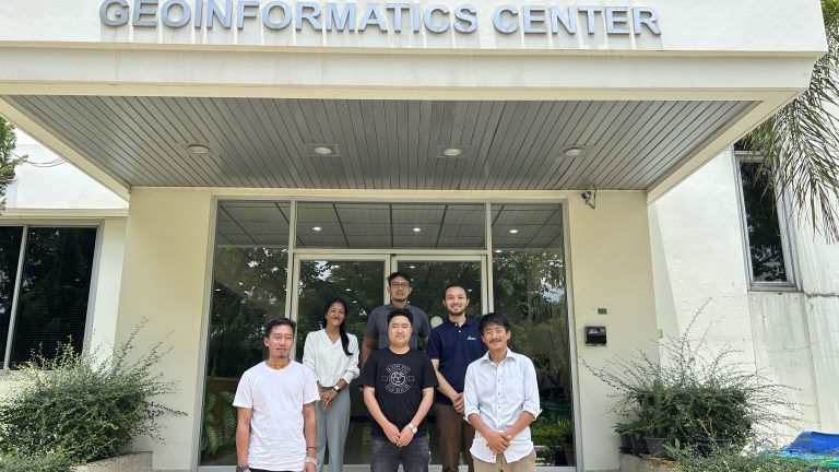
Flood Risk Assessment Training for Bhutan’s National Center for Hydrology and Meteorology
Flood risk assessment is one of the essential components of flood hazard management. Geographic Information Systems (GIS) and remote sensing technologies are widely used for flood risk assessments as they enable us to analyze spatio-temporal data to produce risk-informed maps.
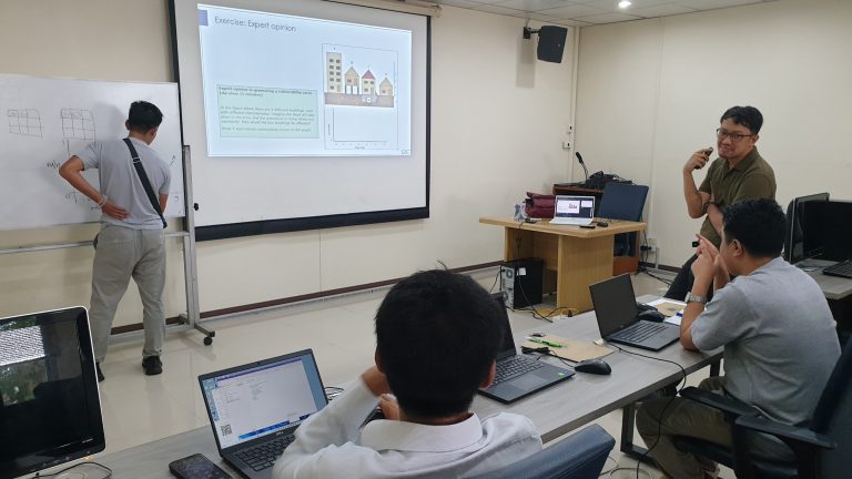
The Geoinformatics Center conducted the hands-on capacity training course for the National Center for Hydrology and Meteorology staff from Thimphu, Bhutan. This course was customized to provide knowledge and tools to implement flood risk-sensitive land use planning and to plan for flood mitigation measures in Bhutan.
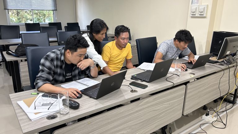
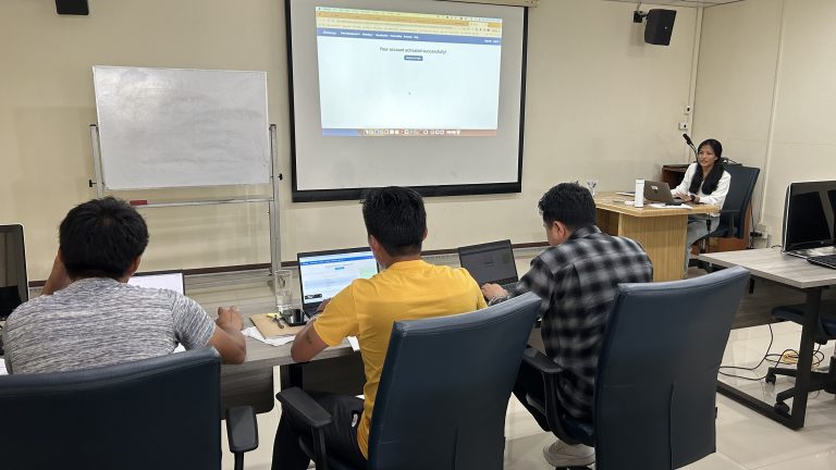
Lectures were given on the foundational concepts related to risk assessment (hazard, element-at-risk, exposure, vulnerability, loss, risk analysis), data requirements, and analysis of comprehensive flood risk maps (quantitatively and qualitatively). Participants were then introduced to different open-source, freely available software and tools such as The Integrated Land and Water Information System – ILWIS (https://www.itc.nl/ilwis/), RiskChanges (https://riskchanges.org/), Fastflood (https://fastflood.org/), QGIS and ArcMaps for the practical sessions.
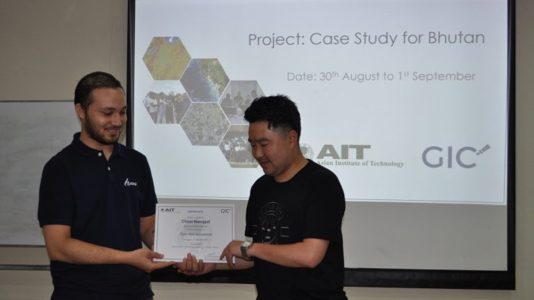
This training successfully achieved the objectives of enhancing the capabilities of local experts in understanding the components of flood risk assessment. Furthermore, the training program enabled participants to understand how to effectively perform practical risk assessments utilizing locally and globally available datasets.