

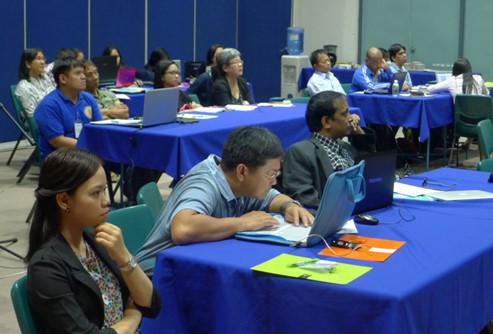
Area : Philippines
Client : JAXA
Start Year : Sept 2013
End Year : Mar 2014
Partners : PHIVOLCS, NAMRIA

Hazard and Exposure Mapping for Taal Volcano, Batangas, Philippines
The Philippines has an active tectonic setting, which is ideal to volcano formation. The archipelago is surrounded by sub ducting plates as manifested by trenches, which are related to volcano formation. There are 23 active volcanoes in the country and Taal Volcano is one of them. Taal Volcano is located about 60 km south of Metro Manila. It is situated near the center of a large depression known as Taal caldera which is now occupied by a deep freshwater body, Taal Lake. The PHIVOLCS already declared the whole Volcano Island as a high risk area and a permanent danger zone, thus prohibiting permanent settlements. A total of 33 eruptions were recorded since 1572 in this volcano. Thus, a better understanding of the potential damages and losses that may arise after an eruption is important. Similarly, identifying exposures and vulnerabilities present in the study area will help in an effective disaster risk management.
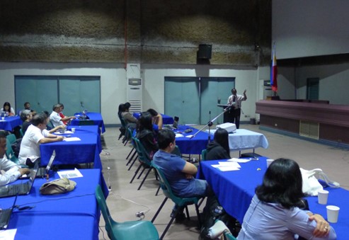
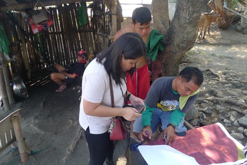
Taal volcano is surrounded by fourteen municipalities and four out of the fourteen namely Laurel, Agoncillo, San Nicolas and Talisay were selected for carrying out detail study due to their close proximity to the volcano. The existing data of volcanic hazard types (base surge, ballistic projectile and seiche) were used to create a hazard ranking procedure. This serves as a criteria in determining the levels of hazard. A total of five hazard levels was determined from 1(lowest) to 5(highest). Building footprints were digitized using OSM, while population data were acquired through Asia Pop and Census data from the National Statistics Office to prepare elements-at-risk data for buildings and populations respectively. All the data used were overlaid using ArcGIS to produce a volcanic exposure maps for Taal Volcano. The volcanic exposure maps can be used in the disaster preparedness as well as emergency response. Satellite images will be acquired if Sentinel Asia is activated, and value added products can be produced by combining the images with the available elements-at-risk data from this Mini-Project. Finally, the output can be distributed to concerned agencies and local government units for an effective disaster management.