
Area : Bangladesh
Client : JAXA
Start Year : Sept 2013
End Year : Mar 2014
Partners : BARI, BAU
Rice Monitoring and Mapping in the Sylhet Region of Bangladesh
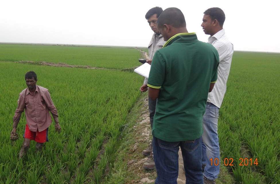
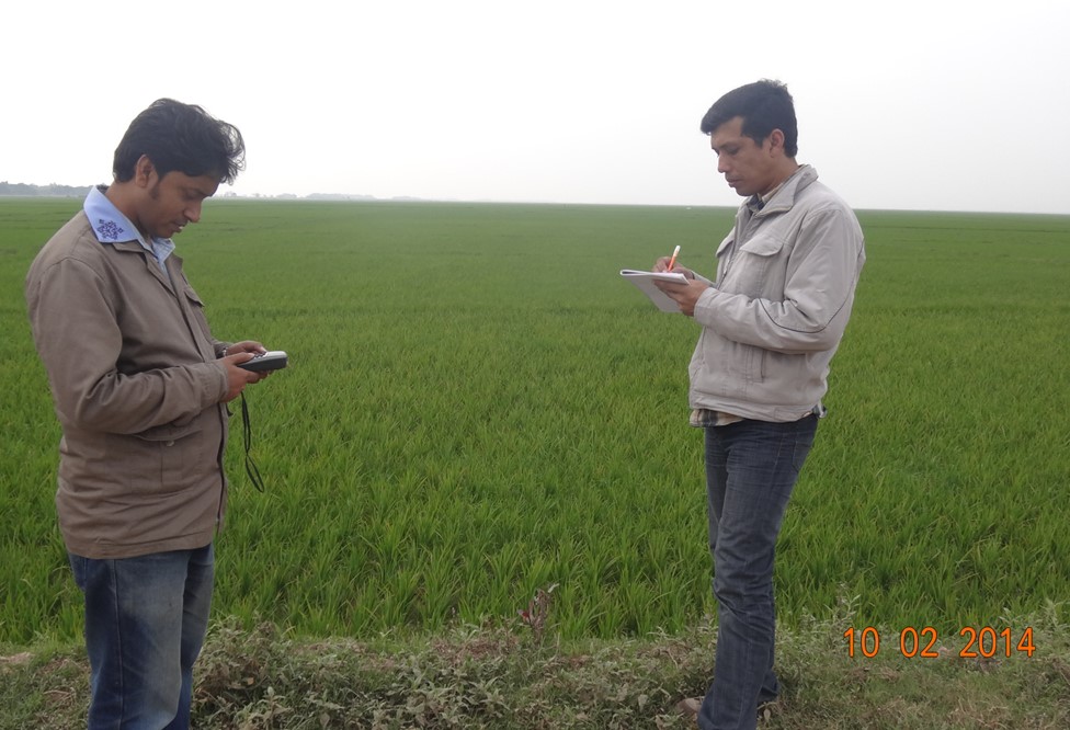
Bangladesh is one of the major rice producing countries in South Asia. The study area is Sylhet region of the north-eastern part of Bangladesh, which is one of 6 administrative Divisions. Quantification of rice area and yield estimation on a real time basis using conventional technique is a very tedious task. Various models have been introduced to predict the crop yields before the harvest, but most of these models require field data, which are difficult to obtain for a vast region.
In this Mini-Project, a simple threshold technique with MODIS-NDVI time series data was used to obtain cultivated area, the start of the season and cropping intensity. Start of the season maps were derived by tracing 60 days back from the day of the maximum NDVI. In addition, nine years of historical maximum seasonal NDVI data and statistical data published by the Bangladesh Bureau of Statistics (BBS) were used to build location specific yield forecasting models for Boro (Jan-Jun) and Aman (Jul-Dec) seasons using linear regression analysis.
Production of rice for two major seasons (Boro and Aman) was monitored and mapped in the study area using MODIS-NDVI time series data. The estimated area from satellite data was compared with the ground based statistics published by the Bangladesh Bureau of Statistics (BBS). The area under cultivation of rice in third season called as Aus season (March-July) in this region was very less, thus it was not monitored due to limitation of spatial resolution of MODIS data to delineate crops with smaller extend. Rice areas of Sylhet Region for Boro (2011-12) and Aman (2012-13) seasons derived from satellite data. Remote Sensing technique estimated 14% and 11% higher areas compared to that of ground based statistics for Boro and Aman rice cultivation area, respectively.