Landslide Hazard Zonation Mapping for Sustainable Development in Bhutan - A Case Study in Phuntsholing Area
Descriptions
The project aimed at modeling the rain triggered landslides utilizing a deterministic slope stability predictive tool based on RS and GIS technologies.
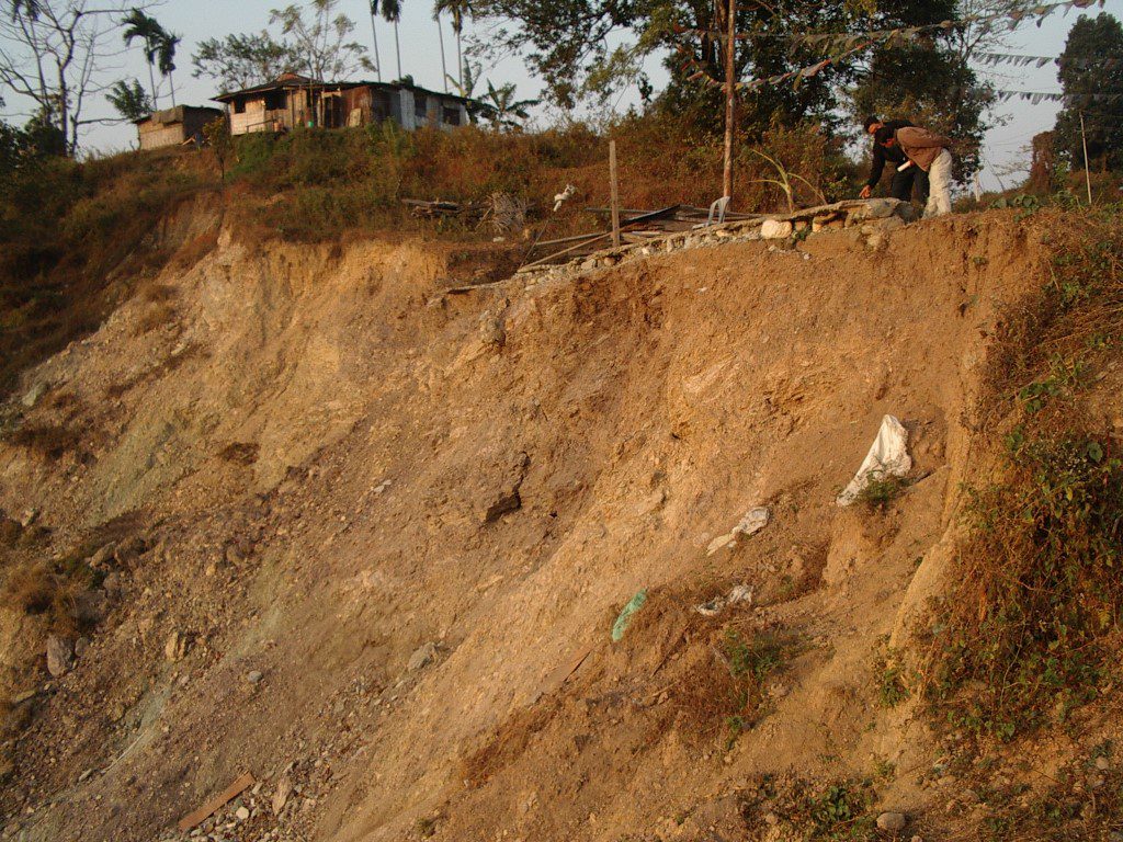
The study area, Phuntsholing has very steep terrains with weak geology, and during the rainy season the region witnesses many landslides and the situation are getting worse due to population pressure as well as infrastructure development, especially roads.
The landslide initiation points in this study area were quickly extracted from ALOS images and these initiation points were used to calibrate and validate the model. The requisite DEM of the terrain was created from contour data. Necessary geotechnical and hydrological data were obtained through reviewing site investigation reports conducted by the Department of Geology and Mines in the vicinity of the study area and by analyzing daily rainfall data in the study area. The landslide susceptibility map of the study area was produced using the SINMAP model with the following statistics; 8.3%, 7.0%, and 17.2% of the study area is stable, moderately stable, and quasi stable respectively with a factor of safety more than 1 while the remaining 23.8%, 35.6%, 8.0% of the area was found to be in upper-threshold, lower-threshold and defended states respectively with corresponding factor of safety values of 1.0-0.5, 0.5-0, and 0. The extracted landslide points from satellite images were falling within the areas with factor of safety values less than 1, which validate the model results. A series of sensitivity analyses of the stability index (SI) or factor of safety (FoS) was also carried out by changing the geotechnical parameters; cohesion and friction angle, and hydrologic parameter, the ratio of transmissivity and effective recharge. SI values are found to be sensitive to the cohesion values of the modeled soil material, as expected in validating the applicability of the model further.

