
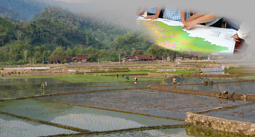
Area : Vietnam
Client : FAO – RAP
Start Year : Apr 2022
End Year : Dec 2023
Partners : ICRAF


Applied Geospatial Approaches and Tools for Nature-Based Solutions (NBS) in Agricultural Landscapes of Vietnam
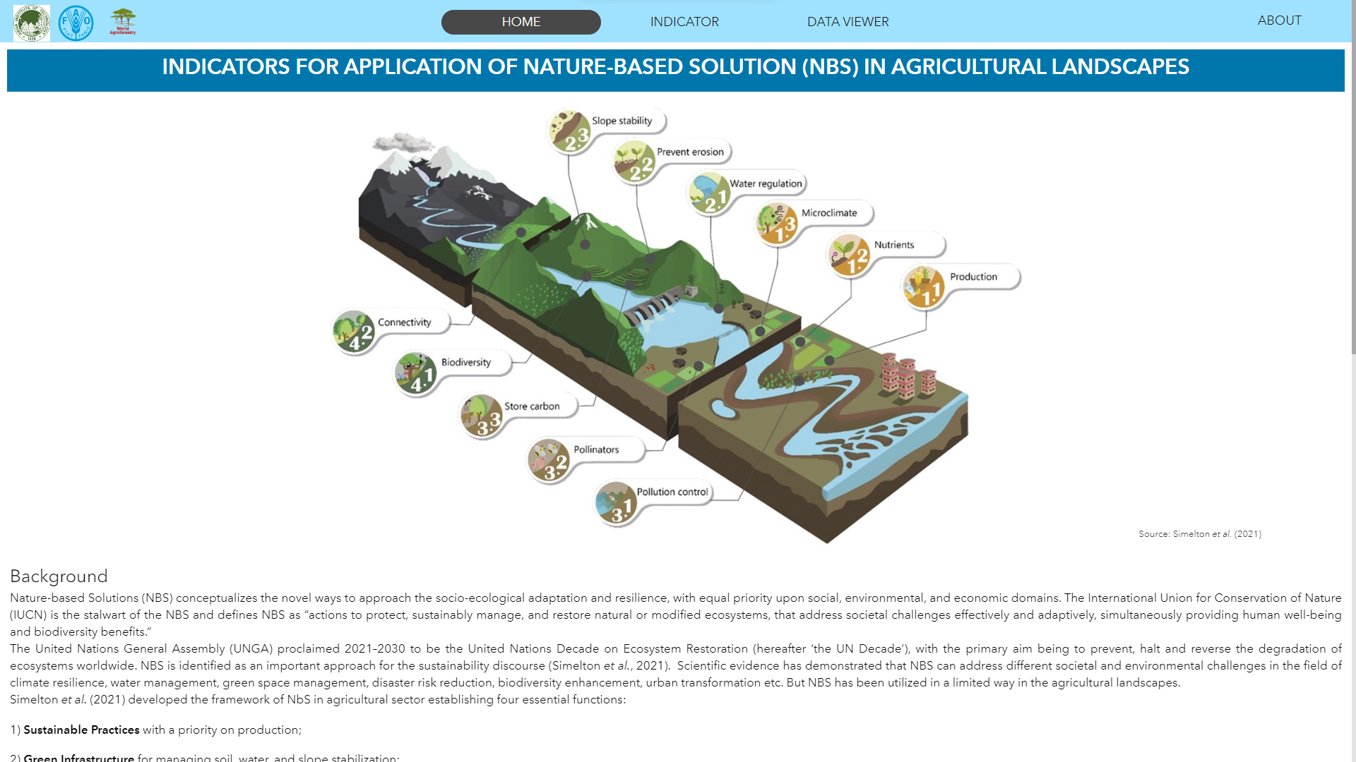
NBS tools and approaches can be part of a multi-disciplinary approach to add functionality and purpose to agricultural production landscapes gradually, (typically) starting with production-focused sustainable practices and then moving on to green infrastructure and amelioration practices as conservation or restoration. Specifically, solutions in the agriculture sectors could relate to:
- Sustainable practices – primarily for production purposes, including natural nutrient and microclimate management, e.g., agroforestry and windshields. Benefits to people include more diversity and/or higher production quality, more stable productivity, safeguarded livelihoods, and reduced damage by frost or heat.
- Green infrastructure – primarily for engineering purposes, including physical regulation of water and soil and slope stabilization, e.g., grass strips, hedgerows, or terraces using natural material. Benefits to people include reduced damage by the mass movement, protection against storm surges and floods, reduced erosion, and additional fodder.
- Amelioration – primarily for restoration of conditions for plants, water, soil, or air and climate change mitigation, e.g., bio- and phytoremediation and mangroves. Benefits to people include safe water, reduced health impacts stemming from production, pollinators, natural predators, biological pest control, and carbon sequestration.
- Conservation – primarily for maintenance or increase of ecological health at field or landscape scales, e.g., natural fallow or regeneration. Benefits to people include general well-being, safeguarded biodiversity, supported nutrient cycles, fish and raw materials, cultural and spiritual benefits, and increased resilience to environmental stress.
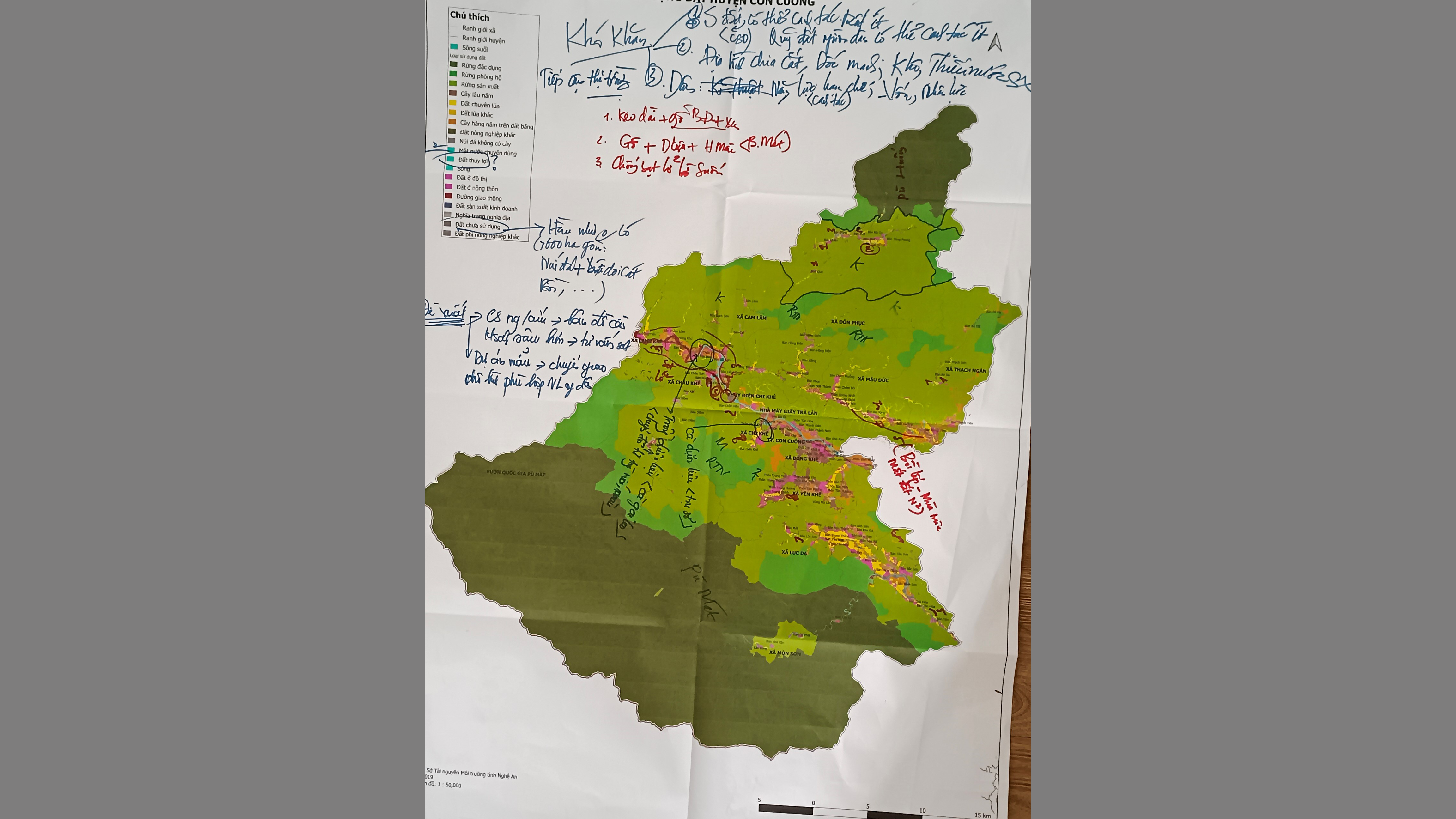
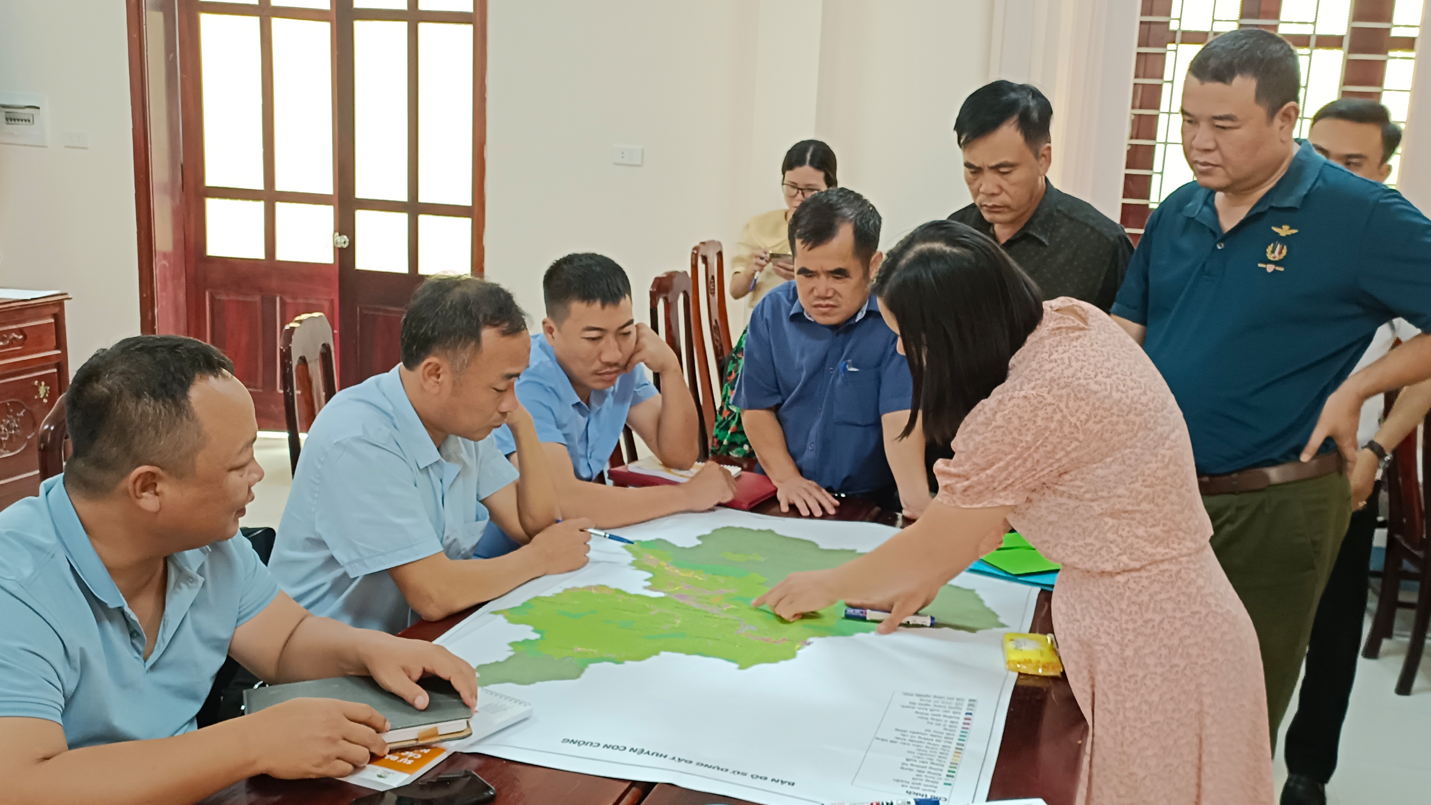
This project aims to support the development of geospatial analysis tools to support diagnostic assessments to underpin NBS design processes (identification, planning, and monitoring). AIT will also coordinate with the service providers responsible for delivering the other components of work on developing participatory and multi-disciplinary approaches to assess the need for and design of NBS at the field level.