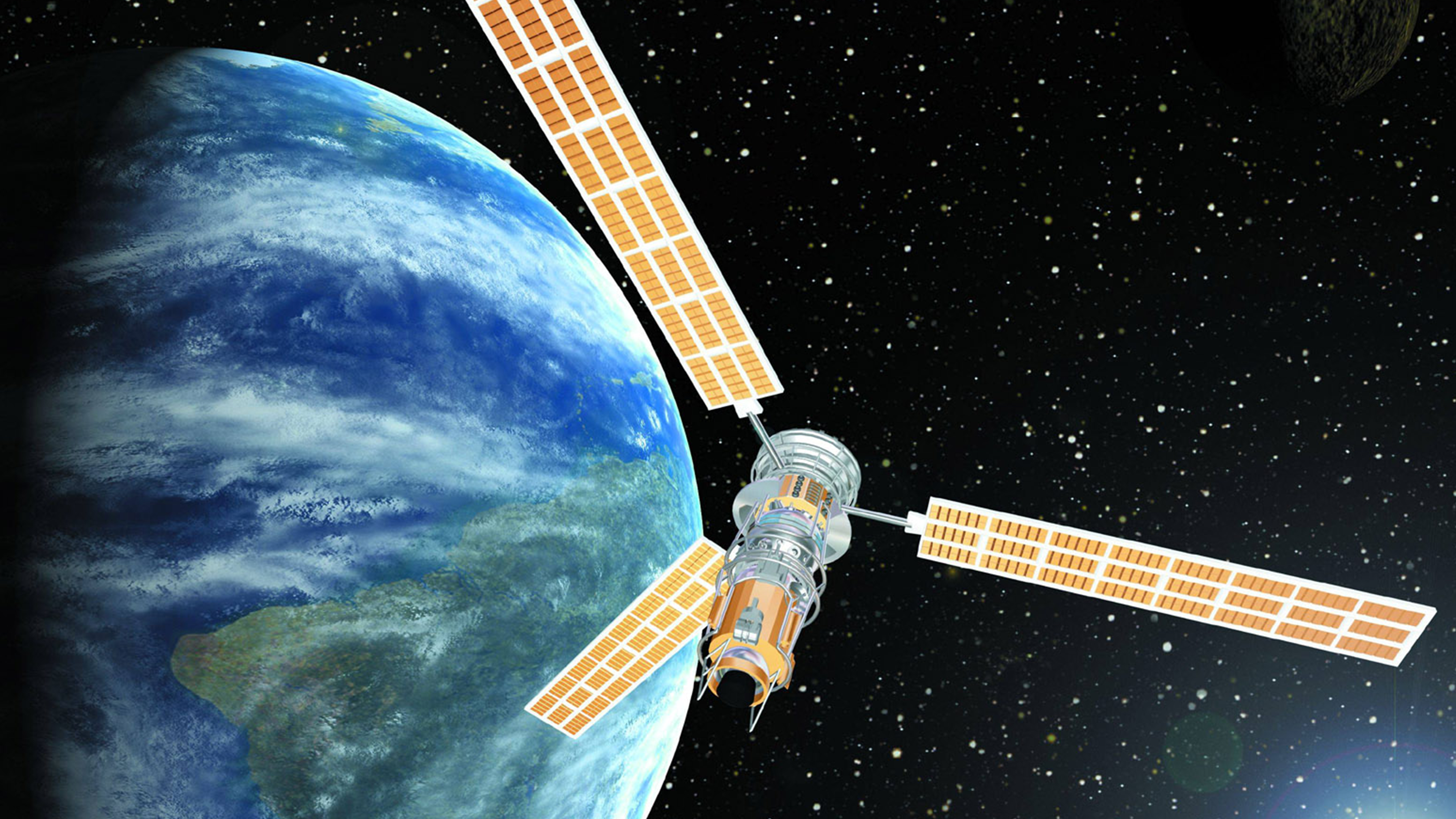
Space-borne remote sensing offers advanced mapping, near real time data analysis for improved decision making. With the ability to collect data over large areas and its frequent acquisition time, remote sensing has become an important source of data to support a wide range of mapping applications. The increasing availability of open access and free satellite data has made remote sensing more accessible, affordable, and powerful than ever before, thus made it possible to conduct large-scale, high-resolution mapping and continuous monitoring of the Earth’s surface.
Optical satellite data and Synthetic Aperture Radar (SAR) are two types of remote sensing data that are widely used for a variety of applications, in which both comes with their own unique characteristics and capabilities. Multi-spectral optical satellite data is often preferred for tasks that require high spatial resolution and detailed information about the Earth’s surface, while SAR is often preferred for tasks
that require all-weather monitoring and the ability to penetrate through clouds and vegetation. Nevertheless, both types of data can be used in combination to provide a more comprehensive view of the Earth’s surface.
We use various remote sensing data to create maps for different applications such as disaster response, post-disaster reconstruction monitoring, land use/land cover, agriculture mapping, and environmental monitoring.
Flood mapping using Sentinel-1 data
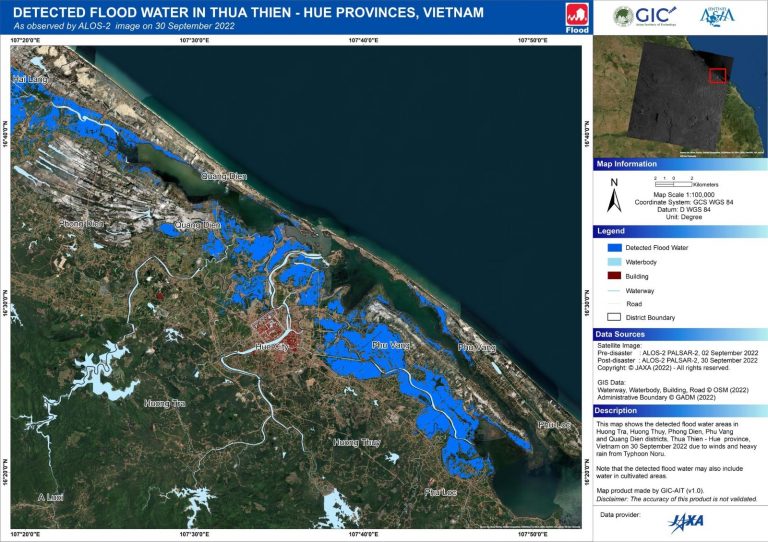
Flood mapping is the process of identifying and delineating areas that are likely to be affected by floods. Sentinel-1 is a radar satellite operated by the European Space Agency (ESA) that is particularly useful for flood mapping, as it can operate in all weather conditions and is able to penetrate clouds to provide information about the flood water extent over large areas. SAR remote sensing data can be used to create flood maps by analysing changes in the radar backscatter signal over time. When floodwaters are present, the backscatter signal will be significantly different from that of dry land, allowing flood-prone areas to be identified.
By providing accurate and timely information about the flood situation, remote sensing data can support efficient and effective recovery efforts, enabling communities to rebuild and return to normalcy as quickly as possible.

