Training Resources Past Training Capacity Building program on Remote Sensing and Geospatial Technology for Reconstruction Monitoring Read More July 4, 2023 Sri Lanka National Training on Digital Technologies for Disaster Risk Management Read More June 9, 2023 GIC held an International Training for Precision and Advanced Technologies in Agriculture Read More April 10, 2023 Training on Remote Sensing and Geospatial Technology for Reconstruction Monitoring: Module 2 Read More June 22, 2021 Climate Downscaling Training Course Read More June 22, 2021 Training on Remote Sensing and Geospatial Technology for Reconstruction Monitoring: Module 1 Read More June 3, 2021 Show More
Capacity Building program on Remote Sensing and Geospatial Technology for Reconstruction Monitoring Read More July 4, 2023
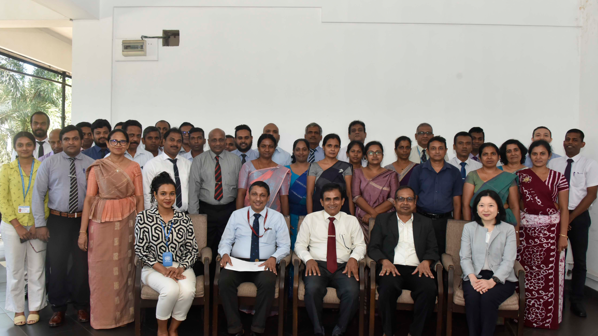
Sri Lanka National Training on Digital Technologies for Disaster Risk Management Read More June 9, 2023
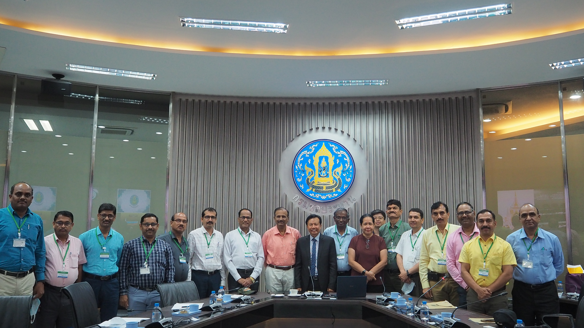
GIC held an International Training for Precision and Advanced Technologies in Agriculture Read More April 10, 2023
Training on Remote Sensing and Geospatial Technology for Reconstruction Monitoring: Module 2 Read More June 22, 2021
Training on Remote Sensing and Geospatial Technology for Reconstruction Monitoring: Module 1 Read More June 3, 2021