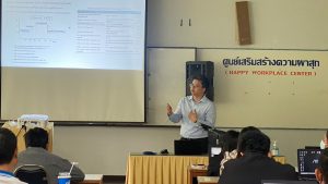
Flood Risk Assessment Training for Bhutan’s National Center for Hydrology and Meteorology
Flood risk assessment is one of the essential components of flood hazard management. Geographic Information Systems (GIS) and remote sensing technologies are widely used for flood risk assessments as they enable us to analyze spatio-temporal data to produce risk-informed Read More


