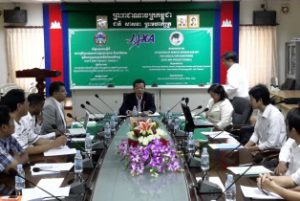
JAXA MP 2014 Phase-I – Cambodia

JAXA MP 2014 Phase-I – Cambodia Geoinformatics Center (GIC) conducted a three day workshop on Utilization of Remote Sensing and GIS for Agriculture Monitoring in Cambodia from 15th to 17th September, 2014. This activity was conducted as Phase I Read More

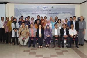
JAXA MP 2014 Phase-I – Indonesia

JAXA MP 2014 Phase-I – Indonesia Geoinformatics Center (GIC) conducted a kick-off workshop of the Mini-Project Phase 1 on 8 September 2014 at the National Institute of Aeronautics and Space (Indonesian: LAPAN). More than 30 participants from different agencies Read More

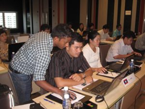
Spatial Data Analysis Including Drought & Water Extent Mapping

Spatial Data Analysis Including Drought & Water Extent Mapping Geoinformatics Center (GIC) in collaboration with Mekong River Commission (MRC) organized a training program on Spatial Data Analysis Including Drought and Water Extent Mapping. The training was conducted at Pathumwan Read More

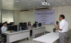
Training on Flood Modeling and Risk Assessment

Training on Flood Modeling and Risk Assessment Geoinformatics Center in cooperation with DHI-India organized two-weeks training course on Flood Modeling and Risk Assessment from 17th to 28th March 2014. Six participants from Assam Water Resources Department took part in Read More

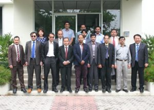
Second Session of Geo-DRM Training

Second Session of Geo-DRM Training Second session of technical assistance workshop on implementing Geo-referenced Information Systems for Disaster Risk Management (Geo-DRM) for Afghanistan and Bangladesh was held at Geoinformatics Center (GIC), AIT from 24th to 28th March 2014.The focus Read More