JAXA SAFE MP 2013 Phase-III – Bangladesh

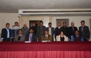
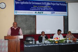
JAXA SAFE MP 2013 Phase-III – Bangladesh The final workshop of Bangladesh Mini-Project (Crop Monitoring using remote Sensing) was conducted at Bangladesh Agriculture Research Institute (BARI) from 13th January, 2014 by Geoinofrmatics Center (GIC), Asian Institute of Technology under Read More

JAXA SA Mini Project 2013 Phase III – Bangladesh

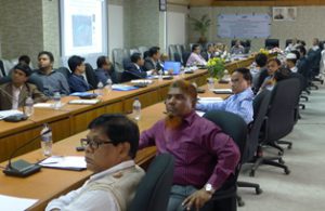
JAXA SA Mini Project 2013 Phase III – Bangladesh Geoinformatics Center (GIC) conducted a workshop for disseminating results of Mini-Project on flood hazard and exposure mapping in a few selected locations along the Brahmaputra river. The program was the Read More

JAXA SA Mini Project 2013 Phase III – Philippines

JAXA SA Mini Project 2013 Phase III – Philippines Geoinformatics Center (GIC) conducted a workshop for disseminating results of Mini-Project on hazard and exposure mapping on volcano (Case study: Taal Volcano, Batangas) and Flood (Case study: Olongapo city, Zambales). Read More

Implementation of Geo-referenced Information Systems

Implementation of Geo-referenced Information Systems Geoinformatics Center (GIC) conducted an advanced training program to provide technical assistance for implementing Geo-referenced Information Systems for Disaster Risk Management (Geo-DRM) and to build capacity on GIS analysis based on earthquake data. The Read More

Training Program on Growth, Poverty and Inequality

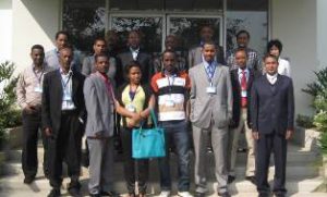
Training Program on Growth, Poverty and Inequality Two week professional training program on growth, poverty and inequality was held at Geoinformatics Center (GIC), Asian Institute of Technology from 20-31 January 2014. There were about thirteen participants from Ethiopia participated Read More