Skip to content
  • Home
  • About Us
    • About GIC
    • GIC Board
    • Our Team
    • Contact Us
  • Technology
  • Expertise
    • Disaster Management
    • Agriculture
    • Environment
  • Services
    • Training
      • Training Event
      • Training Facilities
    • Internship
  • Products
    • pLitter
    • Risk Changes
    • Disaster Response Portal
  • News
    • News & Events
    • Newsletter
    • Publications
  • (+66) 02 524 5580
  • geoinfo@ait.ac.th
  • Pathum Thani, Thailand
Geoinformatics Center

Geoinformatics Center

Asian Institute of Technology

  • Home
  • About Us
    • About GIC
    • GIC Board
    • Our Team
    • Contact Us
  • Technology
  • Expertise
    • Disaster Management
    • Agriculture
    • Environment
  • Services
    • Training
      • Training Event
      • Training Facilities
    • Internship
  • Products
    • pLitter
    • Risk Changes
    • Disaster Response Portal
  • News
    • News & Events
    • Newsletter
    • Publications

Author: hillson

  • Home
  • hillson
  • Page 5

Flood Hazard Map for Effective Flood Management in the Mekong Delta

Area :             Mekong delta, VietnamClient :           JAXAStart Year :   Apr 2012End Year :     Mar 2013Partners :      – Integration of Remote Sensing Data with a Numerical Model to Read More

Assessment of the Current State of Glaciers in Uzbekistan

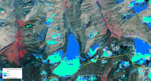
Area :             UzbekistanClient :           JAXAStart Year :   Apr 2012End Year :     Mar 2013Partners :      – Assessment of the Current State of Glaciers in Uzbekistan The objectives of Read More

Landslide Susceptibility Mapping in Basha Diamer Dam Area Using Remote Sensing and Modelling Techniques

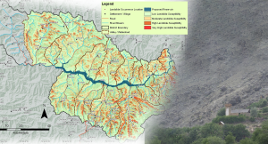
Area :             Diamer, Gilgit-Baltistan ProvinceClient :           JAXAStart Year :   Apr 2012End Year :     Mar 2013Partners :      – Landslide Susceptibility Mapping in Basha Diamer Dam Area Using Remote Read More

Development of a Forest Canopy and Biomass Measuring Technique using Remote Sensing

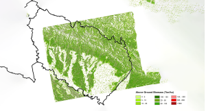
Area :             Kailali and Chitwan, NepalClient :           JAXAStart Year :   Apr 2012End Year :     Mar 2013Partners :      – Development of a Forest Canopy and Biomass Measuring Technique Read More

Flood Hazard Mapping in Homalin City in the Chindwin River Basin

Area :            Homalin City, MyanmarClient :           JAXAStart Year :   Apr 2012End Year :     Mar 2013Partners :      – Flood Hazard Mapping in Homalin City in the Chindwin River Read More

Posts navigation

Previous 1 … 4 5 6 … 14 Next

Find Us


togel viral

slot 4d

slot 4d

slot 4d

slot 4d

for4d

https://ejournal.mujahid.net/

https://tabinc.org/

Contact Us

  P.O. Box 4, 58 Moo 9, Km. 42,       Paholyothin Highway, Klong Luang,       Pathum Thani 12120
      Thailand

  (+66) 252 455 80

Collaborations

Japan Aerospace Exploration Agency Asian Disaster Reduction Center
Asian Association of Remote Sensing
ITC - University of Twente, NL
Copyright ©2024 by Geoinformatics Center. All rights reserved.

https://konikotaklaten.id/
https://konipurwakarta.id/

https://iaikediri.id
https://iaimalang.id
https://iaipurwokerto.id
https://iaipurbalingga.id
https://iaibekasi.id
https://iaijepara.id
https://iaikudus.id
https://iaijember.id
https://iaisemarang.id
https://iaipusat.id

toto macau

https://goarmy.id/

https://sttkd.id/

https://konisumut.id/

https://karosatu.id/
https://suara-sumut.id/
https://www.zonajakarta.id/

slot 4d

https://casinoroyalezone.com/

https://mail.perth-lawyers.family/

for4d

for4d

shiowla

shiowla

https://ipixline.kreaweb.pro/
https://www.cathedralofstjohn.org/
https://usavillagenews.com/
https://www.suidengetsu.com/
https://koniasahan.id/
https://productmarketingreviews.com/

slot88

slot88

slot88

slot bet kecil

toto4d

toto 4d