Filling the Gap of Plastic Waste Governance: How Far Can Mapping in Plastic Contribute?
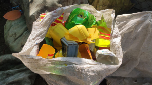
Plastic and open environments – both are not suitable topics. But what if it happens? And it happens daily when you buy bubble tea or take away your favorite street food. Are you disposing of one of those? In Read More