
GIC held an International Training for Precision and Advanced Technologies in Agriculture
GIC has successfully conducted two training programs for current and future experts from agriculture domain. In the training program, participants were equipped with skills to utilize geospatial technologies for analyzing Precision Agriculture and Climate Smart Agriculture, ensuring that they Read More

Nature-based Solutions (NBS) in Agricultural Landscapes
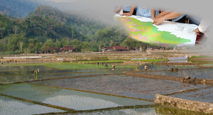
Area : VietnamClient : FAO – RAPStart Year : Apr 2022End Year : Dec 2023Partners : ICRAF Applied Geospatial Approaches and Tools Read More

GIC’s New Project Management for International Disaster Charter Activation
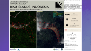
Geoinformatics Center has been appointed as one of the project managers for the International Disaster Charter Activation. The registered activation no. 809 compiled the information of the landslide mapping in Natuna Regency, Riau Islands, Indonesia. From the latest occurrence Read More

Celebrating World Water Day with Promotion of Community Resilience Against Plastic Pollution
As seen in the pLitter (https://plitter.org/story-board). Please do visit pLitter to have more insights on our similar works. Celebrating the World Water Day where the most scarce and essential resources for all, GIC address the promotion through the contribution Read More
