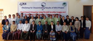
Flood Hazard and Exposure Mapping along Brahmaputra River
Area : BangladeshClient : JAXAStart Year : Sept 2013End Year : Mar 2014Partners : – Flood Hazard and Exposure Mapping: A Case Study in Olongapo City, Zambales Read More

Area : BangladeshClient : JAXAStart Year : Sept 2013End Year : Mar 2014Partners : – Flood Hazard and Exposure Mapping: A Case Study in Olongapo City, Zambales Read More

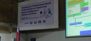
Area : PhilippinesClient : JAXAStart Year : Sept 2013End Year : Mar 2014Partners : – Flood Hazard and Exposure Mapping: A Case Study in Olongapo City, Zambales Read More

Mobile phones with GPS capabilities have opened the door to new possibilities for data collection, mapping, and analysis. These devices offer a cost-effective and user-friendly solution for capturing and sharing location-based information, enabling a wide range of applications in Read More

The age of big data is here, where vast amounts of information are incorporated into various systems. The Geoinformatics Center is taking steps to improve the management of this data and develop more effective information systems. As a leading Read More